
Акс:Antarctica relief location map.jpg

Андозаи ин пешнамоиш: 600 × 600 пиксел. Дигар кайфиятҳо: 240 × 240 пиксел | 480 × 480 пиксел | 768 × 768 пиксел | 1 024 × 1 024 пиксел | 1 493 × 1 493 пиксел.
Акси аслӣ ((1 493 × 1 493 пиксел, ҳаҷми парванда: 459 кбайт, навъи MIME: image/jpeg))
Хулоса
| Тавсифот |
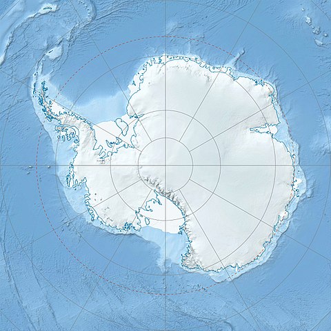
Deutsch: Physische Positionskarte Antarktis, Mittabstandstreue Azimutalprojektion
English: Physical Location map Antarctica, Azimuthal equidistant projection
|
| Сана | |
| Манбаъ |
Кори худ
|
| Муаллиф | Alexrk2 |
| Other versions |
|

Derivative works


|
This map has been made or improved in the German Kartenwerkstatt (Map Lab). You can propose maps to improve as well.
|
Иҷозатнома
I, the copyright holder of this work, hereby publish it under the following license:
This file is licensed under the Creative Commons Attribution-Share Alike 3.0 Unported license.
- Шумо озодед:
- мубодилот намудан – копӣ, паҳн ва фиристадани асар
- ремикс кардан – татбиқи кор
- Under the following conditions:
- тахсис – You must give appropriate credit, provide a link to the license, and indicate if changes were made. You may do so in any reasonable manner, but not in any way that suggests the licensor endorses you or your use.
- саҳми яксон – If you remix, transform, or build upon the material, you must distribute your contributions under the same or compatible license as the original.
Таърихи файл
Рӯи таърихҳо клик кунед то нусхаи марбути парвандаро бубинед.
| Таърих | Бандангуштӣ | Андоза | Корбар | Тавзеҳ | |
|---|---|---|---|---|---|
| нусхаи феълӣ | 07:52, 26 июли 2017 | | 1 493 × 1 493 (459 кбайт) | Amga | Reverted to version as of 16:03, 3 May 2011 (UTC). This is used in location maps, so don't rotate it! |
| 00:00, 26 июли 2017 |  | 1 488 × 1 493 (458 кбайт) | SteinsplitterBot | Bot: Image rotated by 90° | |
| 16:03, 3 май 2011 |  | 1 493 × 1 493 (459 кбайт) | Alexrk2 | light blue hypso colors | |
| 21:24, 21 феврали 2010 |  | 1 500 × 1 500 (818 кбайт) | Alexrk2 | == Summary == {{Information |Description= {{de|Physische Positionskarte Antarktis, Mittabstandstreue Azimutalprojektion}} {{en|Physical Location map Antarctica, Azimuthal equidistant projection}} * Longitude of central |
Пайвандҳо
Ин акс дар ҳеҷ саҳифа истифода намешавад.
Истифодаи саросарии парванда
Викиҳои дигари зерин ин файлро истифода мекунанд:
- Истифода дар af.wikipedia.org
- Истифода дар ar.wikipedia.org
- Истифода дар arz.wikipedia.org
- Истифода дар ast.wikipedia.org
- Истифода дар az.wikipedia.org
- Şablon:Yer xəritəsi Antarktida
- Antarktik yarımadası
- Şablon:Yer xəritəsi Antarktida (fiziki)
- Antarktik boğazı
- Jerlaş boğazı
- Bransfild boğazı
- Lemeir boğazı
- Vostok gölü
- Friksel gölü
- Mak-Medro boğazı
- Veddell dənizi
- Birlik dənizi
- Riser-Larsen dənizi
- Kosmonavtlar dənizi
- Mouson dənizi
- Dürvil dənizi
- Somov dənizi
- Kral VII Haakon dənizi
- Deyvis dənizi
- Lazarev dənizi
- Bellinshauzen dənizi
- Amundsen dənizi
- Ross dənizi
- Skotia dənizi
- Mouson yarımadası
- Hat Point yarımadası
- I Aleksandr Torpağı
- Berkner
- Ross adası
- Erebus vulkanı
- Saypl
- Terston
- Karney
- Ruzvelt adası (Antarktida)
- Sifre burnu
- Cənubi Şetland adaları
- Cənubi Orkney adaları
- Koroneyşen
View more global usage of this file.