
Акс:Belize location map.svg

Ҳаҷми пешнамоиши PNG барои файли кунунии SVG: 432 × 599 пиксел. Дигар кайфиятҳо: 173 × 240 пиксел | 346 × 480 пиксел | 554 × 768 пиксел | 739 × 1 024 пиксел | 1 478 × 2 048 пиксел | 788 × 1 092 пиксел.
Акси аслӣ (SVG парванда, исмӣ 788 × 1 092 пиксел, андозаи парванда: 106 кбайт)
Хулоса
| Тавсифот |
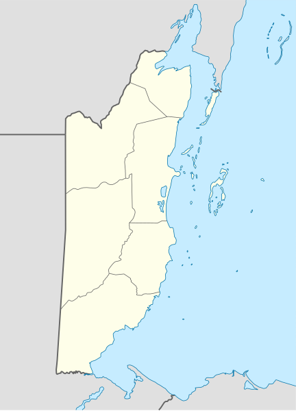
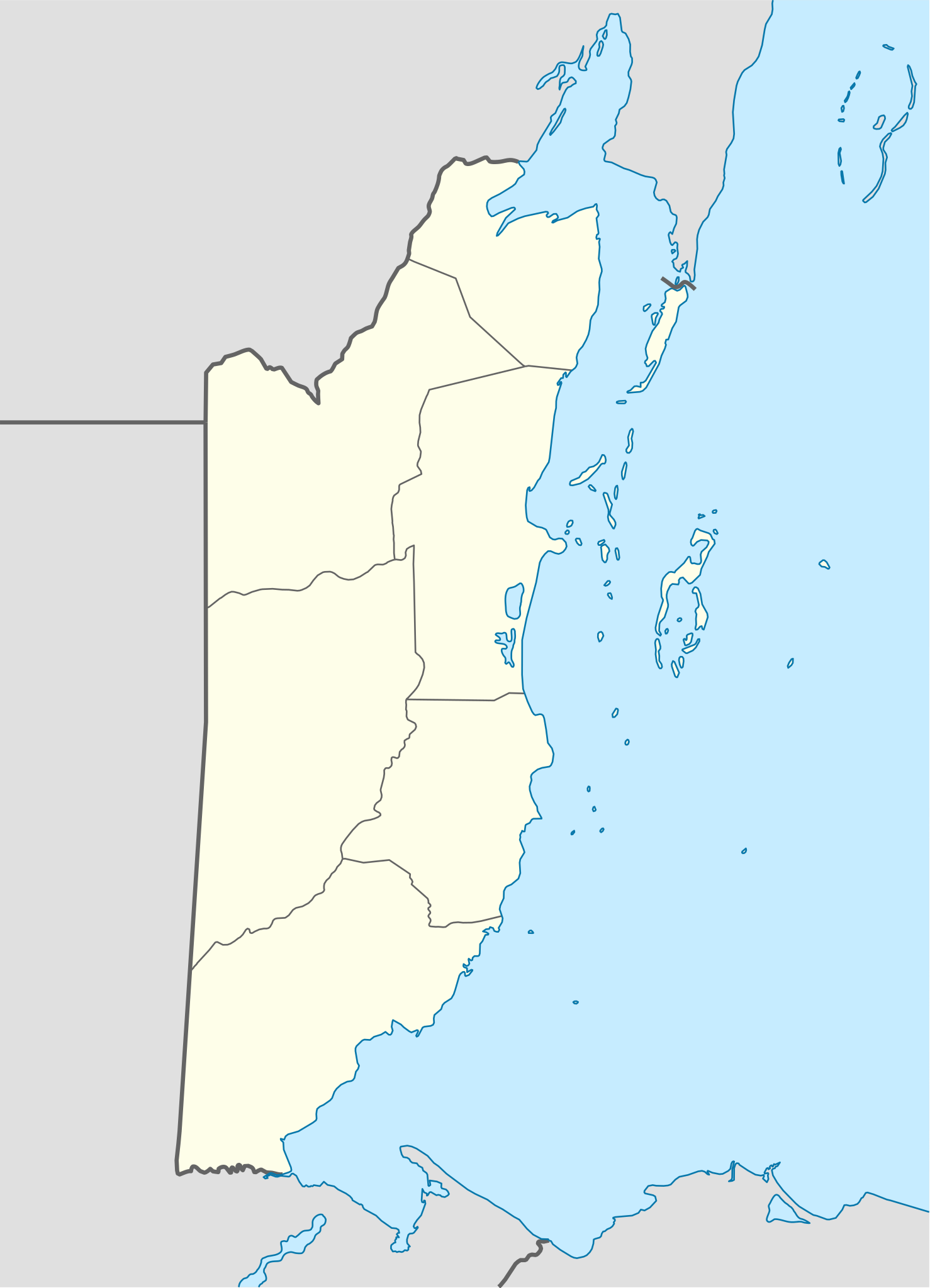
Deutsch: Positionskarte von Belize
Quadratische Plattkarte, N-S-Streckung 105 %. Geographische Begrenzung der Karte:
English: Location map of Belize
|
||||||||||||
| Сана | |||||||||||||
| Манбаъ | Own work using: United States National Imagery and Mapping Agency data | ||||||||||||
| Муаллиф | NordNordWest | ||||||||||||
| SVG genesis |
|
||||||||||||

Иҷозатнома
NordNordWest, the copyright holder of this work, hereby publishes it under the following licenses:

|
Permission is granted to copy, distribute and/or modify this document under the terms of the GNU Free Documentation License, Version 1.2 or any later version published by the Free Software Foundation; with no Invariant Sections, no Front-Cover Texts, and no Back-Cover Texts. A copy of the license is included in the section entitled GNU Free Documentation License. |
This file is licensed under the Creative Commons Attribution-Share Alike 3.0 Unported license.
Тахсис: NordNordWest
- Шумо озодед:
- мубодилот намудан – копӣ, паҳн ва фиристадани асар
- ремикс кардан – татбиқи кор
- Under the following conditions:
- тахсис – You must give appropriate credit, provide a link to the license, and indicate if changes were made. You may do so in any reasonable manner, but not in any way that suggests the licensor endorses you or your use.
- саҳми яксон – If you remix, transform, or build upon the material, you must distribute your contributions under the same or compatible license as the original.
Шумо иҷозатномаи хостаи худро интихоб карда метавонед.
Таърихи файл
Рӯи таърихҳо клик кунед то нусхаи марбути парвандаро бубинед.
| Таърих | Бандангуштӣ | Андоза | Корбар | Тавзеҳ | |
|---|---|---|---|---|---|
| нусхаи феълӣ | 07:15, 10 Декабри 2016 | | 788 × 1 092 (106 кбайт) | Kaldari | Fixing Cayo District border per http://www.elections.gov.bz/modules/wfdownloads/visit.php?cid=109&lid=213 |
| 19:37, 4 сентябри 2008 |  | 788 × 1 092 (106 кбайт) | NordNordWest | size correction | |
| 19:34, 4 сентябри 2008 |  | 630 × 874 (106 кбайт) | NordNordWest | {{Information |Description= {{de|Positionskarte von Belize}} Quadratische Plattkarte, N-S-Streckung 105 %. Geographische Begrenzung der Karte: * N: 18.9° N * S: 15.6° N * W: 89.7° W * O: 87.2° W {{en|Location map of [[:en:Belize|Belize] |
Пайвандҳо
Саҳифаҳои зерин ба ин акс пайванданд:
- Фурудгоҳи Биг Крик (Белиз)
- Фурудгоҳи Кий чпл
- Фурудгоҳи Пласенсиа
- Фурудгоҳи биналмилалӣ филипс ис. дабилйӯ. глдсон
- Фурудгоҳи донгриго
- Фурудгоҳи кий ккр
- Фурудгоҳи пунто гурдо
- Фурудгоҳи саҳро фнлнд
- Фурудгоҳи син пдру
- Фурудгоҳи сртнҷо
- Фурудгоҳи такбондҳ чон чич
- Фурудгоҳи такбондҳ ҳктур слуо
- Фурудгоҳи шаҳре Белиз
- Шаблон:Location map Belize
Истифодаи саросарии парванда
Викиҳои дигари зерин ин файлро истифода мекунанд:
- Истифода дар af.wikipedia.org
- Истифода дар an.wikipedia.org
- Истифода дар ar.wikipedia.org
- Истифода дар ast.wikipedia.org
- Ciudá de Belize
- Belmopán
- Gran furacu azul
- Módulu:Mapa de llocalización/datos/Belize
- Módulu:Mapa de llocalización/datos/Belize/usu
- Aeropuertu de Corozal
- Aeropuertu de Dangriga
- Aeropuertu de Placencia
- Aeropuertu de Punta Gorda
- Aeropuertu de San Pedro
- Pista d'Aterrizaxe Héctor Silva
- Puertu de Belize
- Puertu de Big Creek
- Истифода дар az.wikipedia.org
- Истифода дар ba.wikipedia.org
- Истифода дар be-tarask.wikipedia.org
- Истифода дар be.wikipedia.org
- Истифода дар bg.wikipedia.org
- Истифода дар bn.wikipedia.org
- Истифода дар bs.wikipedia.org
- Истифода дар ceb.wikipedia.org
View more global usage of this file.