
Акс:France location map-Regions and departements-2016.svg

Ҳаҷми пешнамоиши PNG барои файли кунунии SVG: 624 × 600 пиксел. Дигар кайфиятҳо: 250 × 240 пиксел | 499 × 480 пиксел | 799 × 768 пиксел | 1 066 × 1 024 пиксел | 2 131 × 2 048 пиксел | 2 000 × 1 922 пиксел.
Акси аслӣ (SVG парванда, исмӣ 2 000 × 1 922 пиксел, андозаи парванда: 551 кбайт)
Хулоса
| Тавсифот |
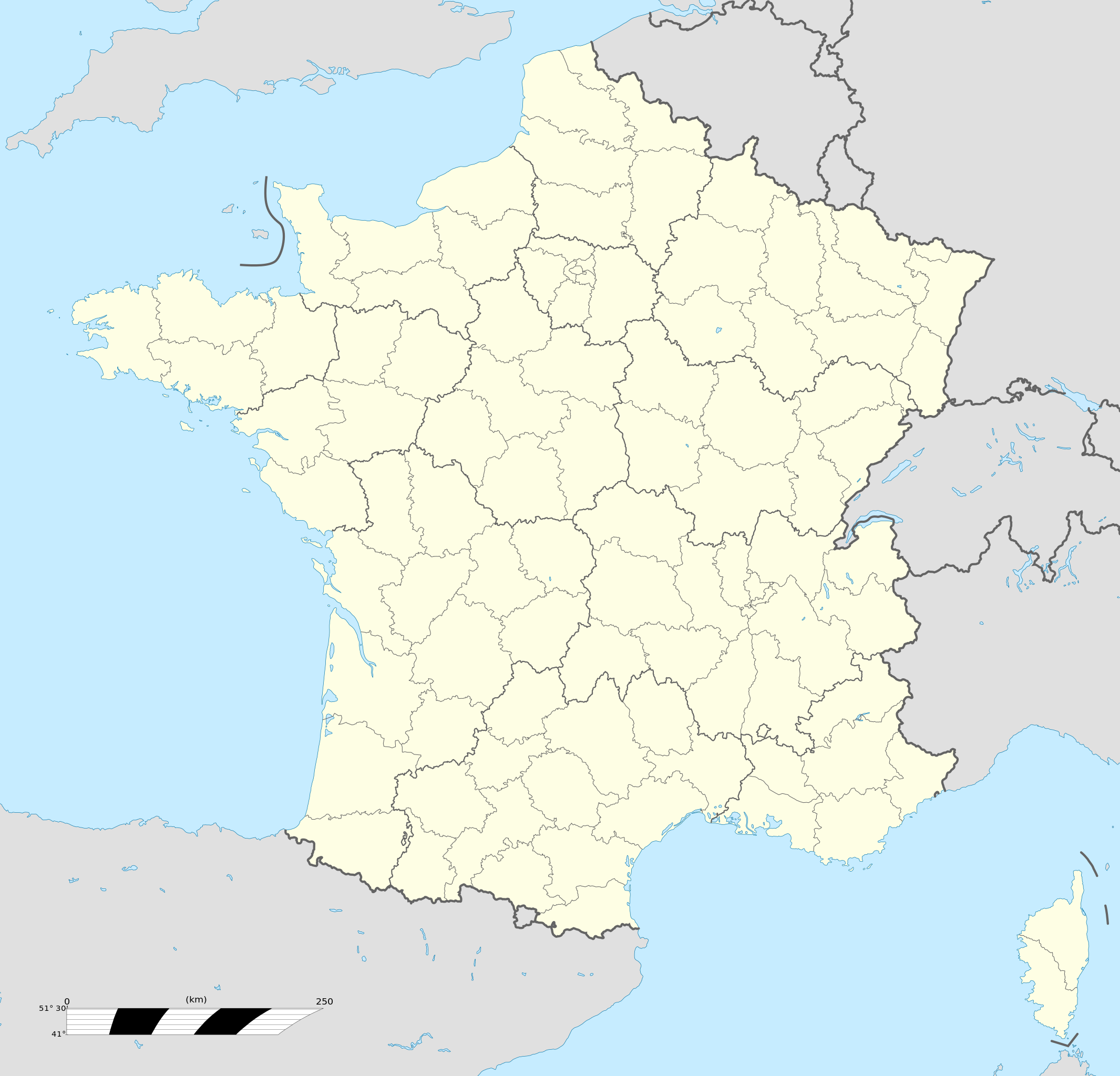
Français : Carte administrative vierge de la France destinée à la géolocalisation, avec régions et départements distingués.
Échelle approximative : 1:3 000 000
English: Blank administrative map of France for geo-location purpose, with regions and departements distinguished.
Approximate scale : 1:3,000,000
Projection équirectangulaire, données WGS84
Limites géographiques de la carte :
|
| Сана | |
| Манбаъ |
This file was derived from: France location map-Regions and departements-2015.svg |
| Муаллиф | Superbenjamin |
| Other versions |
|
| SVG genesis | This locator map was created with Adobe Illustrator, and with Inkscape. This locator map uses embedded text/digits. |

Иҷозатнома
I, the copyright holder of this work, hereby publish it under the following license:
This file is licensed under the Creative Commons Attribution-Share Alike 4.0 International license.
- Шумо озодед:
- мубодилот намудан – копӣ, паҳн ва фиристадани асар
- ремикс кардан – татбиқи кор
- Under the following conditions:
- тахсис – You must give appropriate credit, provide a link to the license, and indicate if changes were made. You may do so in any reasonable manner, but not in any way that suggests the licensor endorses you or your use.
- саҳми яксон – If you remix, transform, or build upon the material, you must distribute your contributions under the same or compatible license as the original.
Таърихи файл
Рӯи таърихҳо клик кунед то нусхаи марбути парвандаро бубинед.
| Таърих | Бандангуштӣ | Андоза | Корбар | Тавзеҳ | |
|---|---|---|---|---|---|
| нусхаи феълӣ | 13:46, 19 октябри 2017 | | 2 000 × 1 922 (551 кбайт) | Sting | No borders over the Lake of Constance |
| 09:11, 2 Январ 2016 |  | 2 000 × 1 922 (546 кбайт) | Superbenjamin | User created page with UploadWizard |
Пайвандҳо
Саҳифаҳои зерин ба ин акс пайванданд:
- Фурудгоҳи Бру – Ла Руш
- Фурудгоҳи Бру – Суиллак
- Фурудгоҳи Бюво-Тилле
- Фурудгоҳи биналмилалӣ пуонт меомадӣ петир
- Фурудгоҳи бржрок дрдунж пригурд
- Фурудгоҳи крн оилнд
- Фурудгоҳи обе флин флун бикрз нруз
- Фурудгоҳи порес-оврли
- Фурудгоҳи прижю босиок
- Фурудгоҳи суннат оинглурт
- Фурудгоҳи фдрику горсио лурко
- Фурудгоҳи фунтогс
- Фурудгоҳи ҳутил оврлеҳонз син днис
- Шаблон:Location map France
Истифодаи саросарии парванда
Викиҳои дигари зерин ин файлро истифода мекунанд:
- Истифода дар af.wikipedia.org
- Rugbywêreldbeker 1999
- Mont-Saint-Michel
- Quimperlé
- Dinard
- Camembert (dorp)
- Dives-sur-Mer
- Deauville
- Crécy-en-Ponthieu
- Cannes
- Villeneuve-d'Ascq
- Antibes
- Menton
- Lascaux
- Rennes-le-Château
- Aigues-Mortes
- Cluny
- La Grande-Motte
- Grasse
- Avranches
- Saint-Jean-Cap-Ferrat
- Honfleur
- Monte Carlo
- Villefranche-sur-Saône
- Arles
- Saint-Dié-des-Vosges
- Vannes
- Pontivy
- Cassis
- Neuf-Brisach
- Val Thorens
- Indre
- Neuilly-sur-Seine
- Nanterre
- Millau
- Chamonix-Mont-Blanc
- Gourdon (Alpes-Maritimes)
- Le Faou
- La Roque-Gageac
- Riquewihr
- Locronan
- Eus
- Châteauneuf-du-Pape
- Arcachon
- Saint-Jean-de-Luz
- Apt (Vaucluse)
- Auray
- Nancy
- Rugbywêreldbeker 2007
- Lens, Pas-de-Calais
- Mont Ventoux
View more global usage of this file.