
Акс:Gullfoss from the Air.jpg
Андозаи ин пешнамоиш: 800 × 449 пиксел. Дигар кайфиятҳо: 320 × 180 пиксел | 640 × 359 пиксел | 1 024 × 575 пиксел | 1 800 × 1 010 пиксел.
Акси аслӣ ((1 800 × 1 010 пиксел, ҳаҷми парванда: 1,94 Мбайт, навъи MIME: image/jpeg))
Хулоса
| Тавсифот |
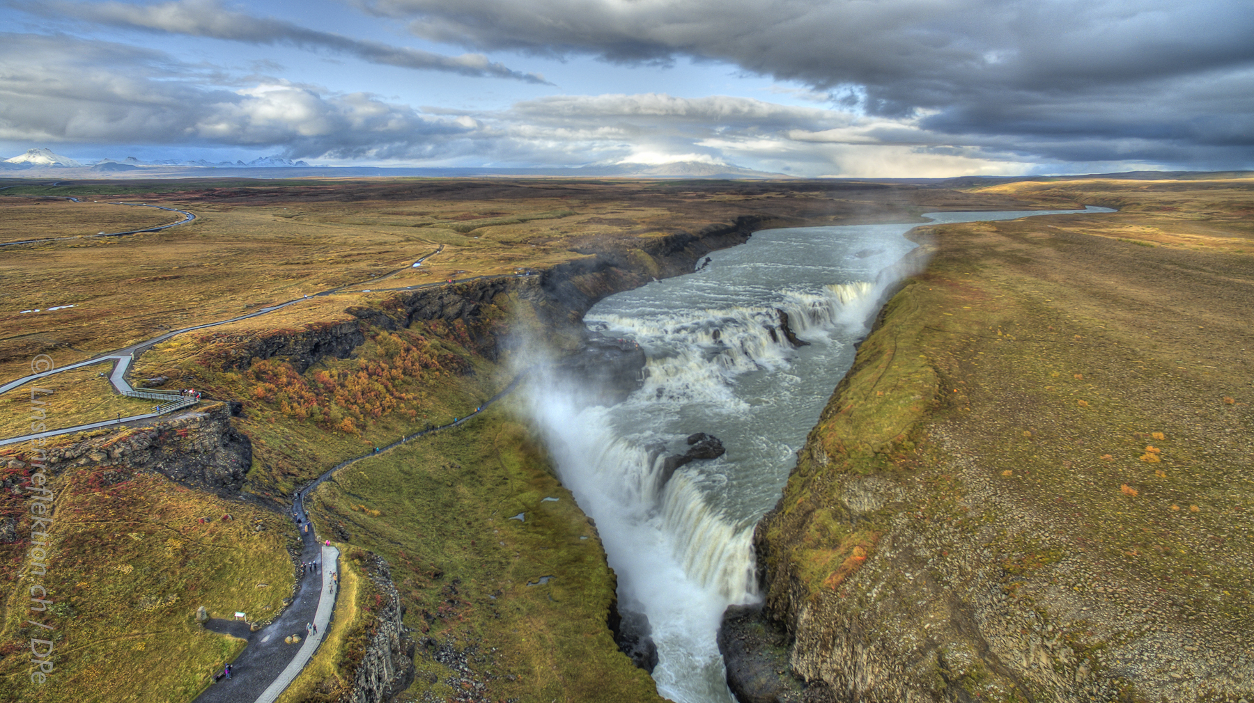
Deutsch: Der Wasserfall Gullfoss, nur wenige Kilometer von Geysir und seinem Strokkur gelegen. Ein HDR Bild von 2015. |
| Сана | |
| Манбаъ | Кори худ |
| Муаллиф | Nickspix |
| Camera location | | View this and other nearby images on: OpenStreetMap |
|---|
Иҷозатнома
I, the copyright holder of this work, hereby publish it under the following license:
This file is licensed under the Creative Commons Attribution-Share Alike 4.0 International license.
- Шумо озодед:
- мубодилот намудан – копӣ, паҳн ва фиристадани асар
- ремикс кардан – татбиқи кор
- Under the following conditions:
- тахсис – You must give appropriate credit, provide a link to the license, and indicate if changes were made. You may do so in any reasonable manner, but not in any way that suggests the licensor endorses you or your use.
- саҳми яксон – If you remix, transform, or build upon the material, you must distribute your contributions under the same or compatible license as the original.
Таърихи файл
Рӯи таърихҳо клик кунед то нусхаи марбути парвандаро бубинед.
| Таърих | Бандангуштӣ | Андоза | Корбар | Тавзеҳ | |
|---|---|---|---|---|---|
| нусхаи феълӣ | 13:09, 29 марти 2016 | | 1 800 × 1 010 (1,94 Мбайт) | Nickspix | Cross-wiki upload from de.wikipedia.org |
Пайвандҳо
Саҳифаҳои зерин ба ин акс пайванданд:
Истифодаи саросарии парванда
Викиҳои дигари зерин ин файлро истифода мекунанд:
- Истифода дар ca.wikipedia.org
- Истифода дар de.wikipedia.org
- Истифода дар en.wikipedia.org
- Истифода дар incubator.wikimedia.org
- Истифода дар is.wikipedia.org
- Истифода дар it.wikipedia.org
- Истифода дар ja.wikipedia.org
- Истифода дар lb.wikipedia.org
- Истифода дар lt.wikipedia.org
- Истифода дар sl.wikipedia.org
- Истифода дар th.wikipedia.org
- Истифода дар uk.wikipedia.org
- Истифода дар www.wikidata.org