
Акс:Jamaica location map.svg

Акси аслӣ (SVG парванда, исмӣ 1 134 × 546 пиксел, андозаи парванда: 58 кбайт)
| Тавсифот |
Deutsch: Positionskarte von Jamaika
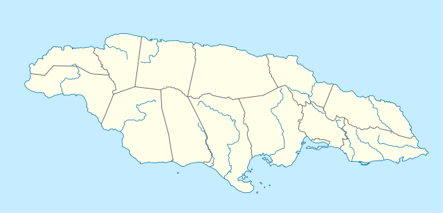
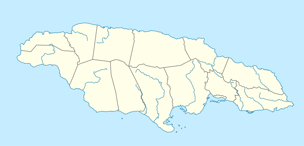
Quadratische Plattkarte, N-S-Streckung 105 %. Geographische Begrenzung der Karte:
English: Location map of Jamaica
Equirectangular projection, N/S stretching 105 %. Geographic limits of the map:
|
|
| Сана | 5 Март 2009 (upload date) | |
| Манбаъ | own work, using United States National Imagery and Mapping Agency data | |
| Муаллиф | NordNordWest | |
| Иҷозат (Пешроҳандозии ин парванда) |
This file is licensed under the Creative Commons Attribution-Share Alike 3.0 Germany license.
 This file is licensed under the Creative Commons Attribution-Share Alike 3.0 Germany license.
|
|
| Other versions |
|


|
This map has been made or improved in the German Kartenwerkstatt (Map Lab). You can propose maps to improve as well.
|
Таърихи файл
Рӯи таърихҳо клик кунед то нусхаи марбути парвандаро бубинед.
| Таърих | Бандангуштӣ | Андоза | Корбар | Тавзеҳ | |
|---|---|---|---|---|---|
| нусхаи феълӣ | 09:39, 5 марти 2009 | | 1 134 × 546 (58 кбайт) | NordNordWest | {{Information |Description= {{de|Positionskarte von Jamaika}} Quadratische Plattkarte, N-S-Streckung 105 %. Geographische Begrenzung der Karte: * N: 18.7° N * S: 17.5° N * W: 78.5° W * O: 76.1° W {{en|Location map of [[:en:Jamaica|Jama |
Пайвандҳо
Саҳифаҳои зерин ба ин акс пайванданд:
Истифодаи саросарии парванда
Викиҳои дигари зерин ин файлро истифода мекунанд:
- Истифода дар af.wikipedia.org
- Истифода дар an.wikipedia.org
- Истифода дар ar.wikipedia.org
- Истифода дар arz.wikipedia.org
- Истифода дар ast.wikipedia.org
- Истифода дар az.wikipedia.org
- Истифода дар be.wikipedia.org
- Истифода дар bg.wikipedia.org
- Истифода дар bn.wikipedia.org
- Истифода дар bs.wikipedia.org
- Истифода дар ca.wikipedia.org
- Истифода дар ceb.wikipedia.org
View more global usage of this file.