
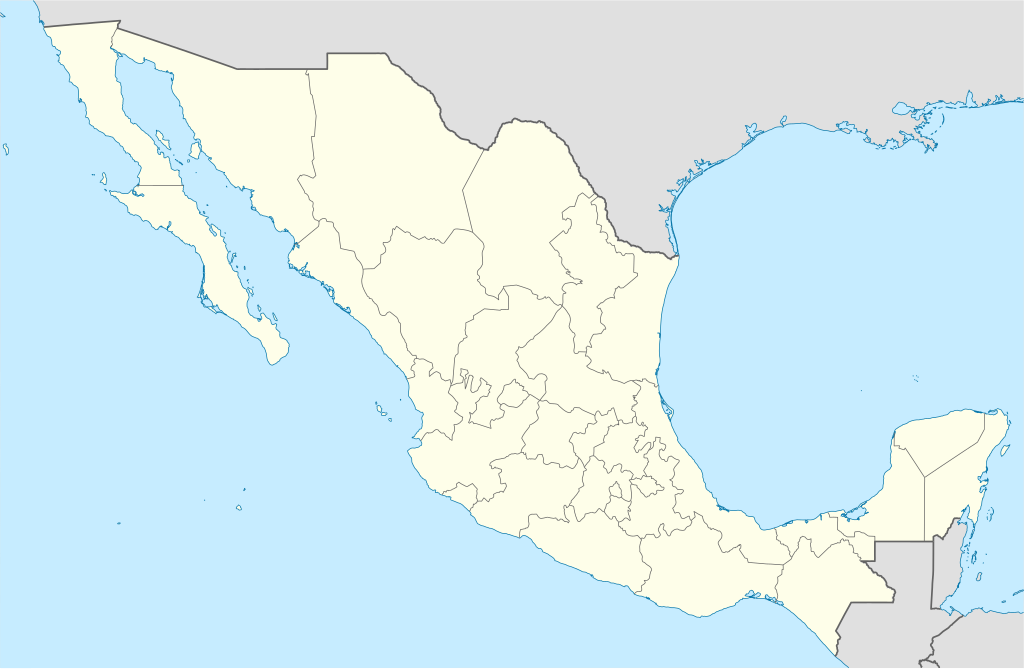
Акс:Mexico States blank map.svg

Ҳаҷми пешнамоиши PNG барои файли кунунии SVG: 800 × 523 пиксел. Дигар кайфиятҳо: 320 × 209 пиксел | 640 × 418 пиксел | 1 024 × 669 пиксел | 1 280 × 837 пиксел | 2 560 × 1 673 пиксел | 2 029 × 1 326 пиксел.
Акси аслӣ (SVG парванда, исмӣ 2 029 × 1 326 пиксел, андозаи парванда: 473 кбайт)
Yolot hdz
Хулоса
| Тавсифот | |
| Сана | |
| Манбаъ | Image:Mexico blank.svg by Yavidaxiu under licence GFDL. |
| Муаллиф | Sémhur |
| Other versions |
Derivative works of this file: |
| Camera location | | View this and other nearby images on: OpenStreetMap |
|---|
W3C-validity not checked.
This W3C-unspecified vector image was created with Inkscape .
Иҷозатнома
I, the copyright holder of this work, hereby publish it under the following licenses:
| Copyleft: This work of art is free; you can redistribute it and/or modify it according to terms of the Free Art License. You will find a specimen of this license on the Copyleft Attitude site as well as on other sites. |
This file is licensed under the Creative Commons Attribution-Share Alike 4.0 International, 3.0 Unported, 2.5 Generic, 2.0 Generic and 1.0 Generic license.
- Шумо озодед:
- мубодилот намудан – копӣ, паҳн ва фиристадани асар
- ремикс кардан – татбиқи кор
- Under the following conditions:
- тахсис – You must give appropriate credit, provide a link to the license, and indicate if changes were made. You may do so in any reasonable manner, but not in any way that suggests the licensor endorses you or your use.
- саҳми яксон – If you remix, transform, or build upon the material, you must distribute your contributions under the same or compatible license as the original.
Шумо иҷозатномаи хостаи худро интихоб карда метавонед.
Таърихи файл
Рӯи таърихҳо клик кунед то нусхаи марбути парвандаро бубинед.
| Таърих | Бандангуштӣ | Андоза | Корбар | Тавзеҳ | |
|---|---|---|---|---|---|
| нусхаи феълӣ | 15:41, 13 августи 2010 | | 2 029 × 1 326 (473 кбайт) | Kmusser | Try that again |
| 15:41, 13 августи 2010 |  | 975 × 654 (361 кбайт) | Kmusser | change projection to match that used at File:Mexico location map.svg so should be more accurate for pushpins, also reverted Yucatan boundary change to match Mexican government maps. | |
| 11:58, 25 май 2009 |  | 975 × 654 (361 кбайт) | Sémhur | Modify border south between Quintana Roo and Campeche | |
| 08:31, 24 май 2009 |  | 975 × 654 (361 кбайт) | Sémhur | Adding Yucatan states | |
| 12:57, 24 сентябри 2008 |  | 975 × 654 (330 кбайт) | Sémhur | new try | |
| 12:40, 24 сентябри 2008 |  | 975 × 654 (328 кбайт) | Sémhur | Thiner strokes | |
| 12:37, 24 сентябри 2008 |  | 975 × 654 (328 кбайт) | Sémhur | {{Information |Description= {{en|Map of Mexico, with states borders.}} {{es|Mapa de Mexico, con los límites de los estados.}} {{fr|Carte du Mexique, avec les limites des états.}} |Source=Travail personnel / Own work. Source : * [[:Image:Mexico blank.sv |
Пайвандҳо
Саҳифаҳои зерин ба ин акс пайванданд:
Истифодаи саросарии парванда
Викиҳои дигари зерин ин файлро истифода мекунанд:
- Истифода дар af.wikipedia.org
- Истифода дар am.wikipedia.org
- Истифода дар ar.wikipedia.org
- Истифода дар ast.wikipedia.org
- Истифода дар azb.wikipedia.org
- Истифода дар ban.wikipedia.org
- Истифода дар bcl.wikipedia.org
- Истифода дар bn.wikipedia.org
- Истифода дар bs.wikipedia.org
- Истифода дар ca.wikipedia.org
View more global usage of this file.