
Акс:Bicester Airfield from above - geograph.org.uk - 637350.jpg
Нусхаи ҳаҷман ва сифатан баландтар дастрас нест.
Bicester_Airfield_from_above_-_geograph.org.uk_-_637350.jpg ((600 × 526 пиксел, ҳаҷми парванда: 71 кбайт, навъи MIME: image/jpeg))
| Тавсифот |
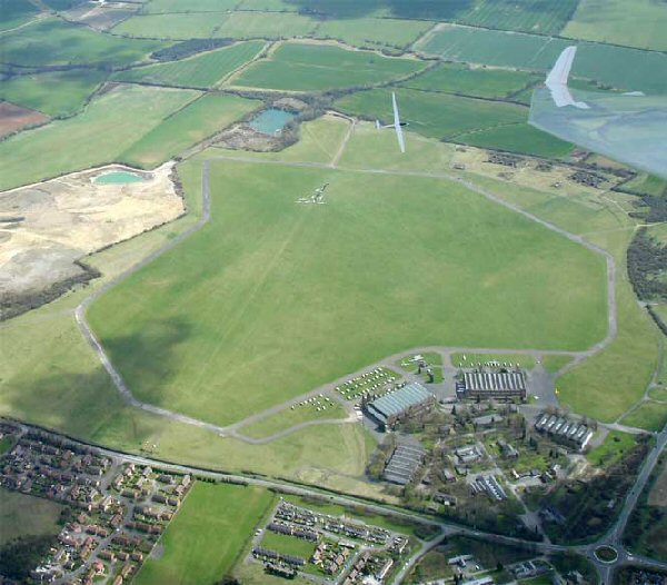
English: Aerial photograph of Bicester Airfield, Oxfordshire |
| Сана | |
| Манбаъ | From geograph.org.uk; transferred by User:Magnus Manske using geograph_org2commons. |
| Муаллиф | john wright |
| Иҷозат (Пешроҳандозии ин парванда) |
Creative Commons Attribution Share-alike license 2.0 |
| Тахсис (required by the license) | john wright / Bicester Airfield from above / |
| Object location | | View this and other nearby images on: OpenStreetMap |
|---|
_region:GB-ENG_heading:90.00&language=tg)

|
This image was taken from the Geograph project collection. See this photograph's page on the Geograph website for the photographer's contact details. The copyright on this image is owned by john wright and is licensed for reuse under the Creative Commons Attribution-ShareAlike 2.0 license.
|
This file is licensed under the Creative Commons Attribution-Share Alike 2.0 Generic license.
Тахсис: john wright
- Шумо озодед:
- мубодилот намудан – копӣ, паҳн ва фиристадани асар
- ремикс кардан – татбиқи кор
- Under the following conditions:
- тахсис – You must give appropriate credit, provide a link to the license, and indicate if changes were made. You may do so in any reasonable manner, but not in any way that suggests the licensor endorses you or your use.
- саҳми яксон – If you remix, transform, or build upon the material, you must distribute your contributions under the same or compatible license as the original.
Таърихи файл
Рӯи таърихҳо клик кунед то нусхаи марбути парвандаро бубинед.
| Таърих | Бандангуштӣ | Андоза | Корбар | Тавзеҳ | |
|---|---|---|---|---|---|
| нусхаи феълӣ | 11:00, 9 ноябри 2009 | | 600 × 526 (71 кбайт) | File Upload Bot (Magnus Manske) | == Summary == {{Information |Description=Bicester Airfield from above |Source=From [http://www.geograph.org.uk/photo/637350 geograph.org.uk]; transferd by User:oxyman using [http://toolserver.org/~magnus/geograph_org2commons.php geograph_org2commons]. |
| 21:05, 6 марти 2009 |  | 600 × 526 (71 кбайт) | File Upload Bot (Magnus Manske) | {{Information |Description=Bicester Airfield from above |Source=From [http://www.geograph.org.uk/photo/637350 geograph.org.uk]; transferd by User:Magnus Manske using [http://toolserver.org/~magnus/geograph_org2commons.php geograph_org2commons]. |Date |
Пайвандҳо
Саҳифаҳои зерин ба ин акс пайванданд:
Истифодаи саросарии парванда
Викиҳои дигари зерин ин файлро истифода мекунанд:
- Истифода дар de.wikipedia.org
- Истифода дар en.wikipedia.org
- Истифода дар fa.wikipedia.org
- Истифода дар www.wikidata.org