
Акс:Ethiopia relief location map.jpg

Андозаи ин пешнамоиш: 740 × 600 пиксел. Дигар кайфиятҳо: 296 × 240 пиксел | 592 × 480 пиксел | 947 × 768 пиксел | 1 263 × 1 024 пиксел | 1 966 × 1 594 пиксел.
Акси аслӣ ((1 966 × 1 594 пиксел, ҳаҷми парванда: 709 кбайт, навъи MIME: image/jpeg))
| Тавсифот |
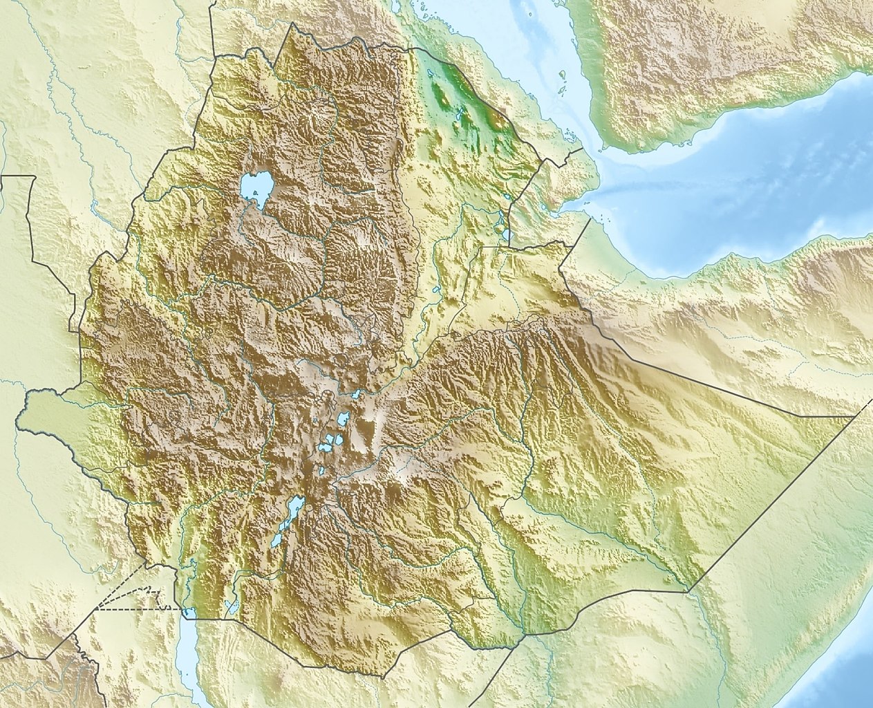
Deutsch: Physische Positionskarte von Äthiopien
Quadratische Plattkarte, N-S-Streckung 102 %. Geographische Begrenzung der Karte:
English: Physical location map of Ethiopia
Equirectangular projection, N/S stretching 102 %. Geographic limits of the map:
|
| Сана | |
| Манбаъ | Кори худ, using map data from administrative map by NordNordWest. The relief was created from SRTM-30 relief data |
| Муаллиф | Carport |
| Иҷозат (Пешроҳандозии ин парванда) |
This file is licensed under the Creative Commons Attribution-Share Alike 3.0 Unported license.
|
| Other versions |
|

Таърихи файл
Рӯи таърихҳо клик кунед то нусхаи марбути парвандаро бубинед.
| Таърих | Бандангуштӣ | Андоза | Корбар | Тавзеҳ | |
|---|---|---|---|---|---|
| нусхаи феълӣ | 15:38, 13 октябри 2021 | | 1 966 × 1 594 (709 кбайт) | Gebagebo | Added dotted line to indicate Somaliland |
| 13:57, 29 сентябри 2011 |  | 1 638 × 1 328 (1,12 Мбайт) | NordNordWest | + South Sudan | |
| 17:32, 15 марти 2010 |  | 1 638 × 1 328 (1,22 Мбайт) | Carport | {{Information |Description={{de|Physische Positionskarte von {{w|Äthiopien|3=de}}}} Quadratische Plattkarte, N-S-Streckung 102 %. Geographische Begrenzung der Karte: * N: 15.3° N * S: 2.9° N * W: 32.7° O * O: 48.3° O {{en|Physical location map of {{w |
Пайвандҳо
Ин акс дар ҳеҷ саҳифа истифода намешавад.
Истифодаи саросарии парванда
Викиҳои дигари зерин ин файлро истифода мекунанд:
- Истифода дар ar.wikipedia.org
- Истифода дар arz.wikipedia.org
- Истифода дар ast.wikipedia.org
- Истифода дар ban.wikipedia.org
- Истифода дар bn.wikipedia.org
- Истифода дар br.wikipedia.org
- Истифода дар bs.wikipedia.org
- Истифода дар ca.wikipedia.org
- Истифода дар ceb.wikipedia.org
- Истифода дар ce.wikipedia.org
- Истифода дар ckb.wikipedia.org
- Истифода дар cs.wikipedia.org
- Ras Dašen
- Adwa (sopka)
- Národní park Simienské hory
- Erta Ale
- Šablona:LocMap Etiopie
- Afdera
- Wikipedie:WikiProjekt Česko-slovenská Wikipedie/Přeložené články/2014-02/Galerie
- Mount Ayalu
- Alajta
- Asavjo
- Alu (sopka)
- Dalaffilla
- Amajtoli Tärara
- Asdaga
- Bilate Šet
- Bishoftu (sopečné pole)
- Boina (fumarolové pole)
- Bora-Bericcio
- Borale Ale
- Borawli
- Boset-Beriča
- Butadžiri-Silti
- Beru
- Corbetti
- Dabbahu
- Dabbajra
- Dallol (sopka)
View more global usage of this file.