
Акс:Spain location map.svg

Ҳаҷми пешнамоиши PNG барои файли кунунии SVG: 699 × 600 пиксел. Дигар кайфиятҳо: 280 × 240 пиксел | 559 × 480 пиксел | 895 × 768 пиксел | 1 193 × 1 024 пиксел | 2 387 × 2 048 пиксел | 1 184 × 1 016 пиксел.
Акси аслӣ (SVG парванда, исмӣ 1 184 × 1 016 пиксел, андозаи парванда: 536 кбайт)
Хулоса
| Тавсифот |
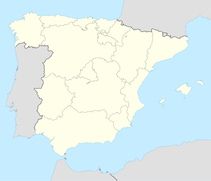
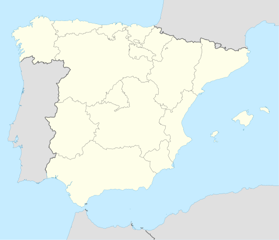
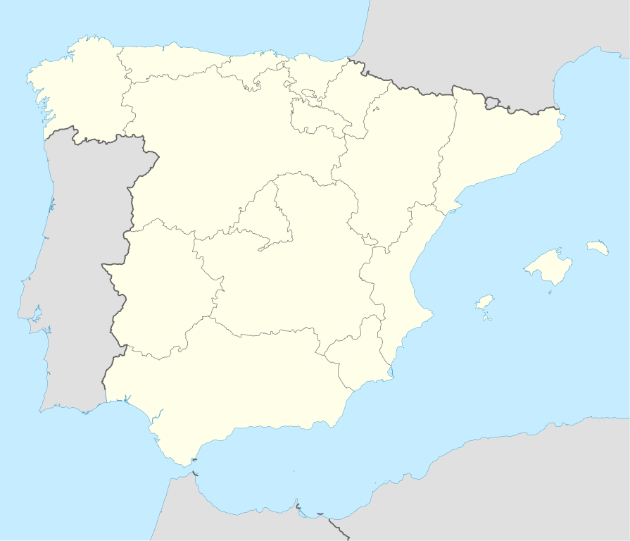
Deutsch: Positionskarte von Spanien
Quadratische Plattkarte, N-S-Streckung 130 %. Geographische Begrenzung der Karte:
English: Location map of Spain
Equirectangular projection, N/S stretching 130 %. Geographic limits of the map:
|
||
| Сана | |||
| Манбаъ | Кори худ | ||
| Муаллиф | NordNordWest | ||
| Other versions |
Derivative works of this file: |
||
| SVG genesis | This locator map was created with Inkscape by NordNordWest.
|

Иҷозатнома
I, the copyright holder of this work, hereby publish it under the following licenses:

|
Permission is granted to copy, distribute and/or modify this document under the terms of the GNU Free Documentation License, Version 1.2 or any later version published by the Free Software Foundation; with no Invariant Sections, no Front-Cover Texts, and no Back-Cover Texts. A copy of the license is included in the section entitled GNU Free Documentation License. |
This file is licensed under the Creative Commons Attribution-Share Alike 3.0 Unported license.
- Шумо озодед:
- мубодилот намудан – копӣ, паҳн ва фиристадани асар
- ремикс кардан – татбиқи кор
- Under the following conditions:
- тахсис – You must give appropriate credit, provide a link to the license, and indicate if changes were made. You may do so in any reasonable manner, but not in any way that suggests the licensor endorses you or your use.
- саҳми яксон – If you remix, transform, or build upon the material, you must distribute your contributions under the same or compatible license as the original.
Шумо иҷозатномаи хостаи худро интихоб карда метавонед.
Таърихи файл
Рӯи таърихҳо клик кунед то нусхаи марбути парвандаро бубинед.
| Таърих | Бандангуштӣ | Андоза | Корбар | Тавзеҳ | |
|---|---|---|---|---|---|
| нусхаи феълӣ | 14:23, 7 июли 2008 | | 1 184 × 1 016 (536 кбайт) | NordNordWest | |
| 13:58, 4 июли 2008 |  | 1 184 × 1 016 (785 кбайт) | NordNordWest | corrected | |
| 13:54, 4 июли 2008 |  | 1 184 × 1 016 (791 кбайт) | NordNordWest | {{Information |Description= {{de|Positionskarte von Spanien}} Quadratische Plattkarte, N-S-Streckung 130 %. Geographische Begrenzung der Karte: * N: 44.4° N * S: 34.7° N * W: 9.9° W * O: 4.8° O {{en|Location map of Spain} |
Пайвандҳо
Саҳифаҳои зерин ба ин акс пайванданд:
- Фурудгоҳи Байналмиллалии Пиарко
- Фурудгоҳи Гран-Канария
- Фурудгоҳи оибизо (испонеё)
- Фурудгоҳи оликонтҳ
- Фурудгоҳи полмо ду молруко
- Фурудгоҳи помплуно
- Фурудгоҳи син поблу
- Фурудгоҳи сонтондр
- Фурудгоҳи тнриф ҷанубе
- Википедиа:WikiProject Maps
- Шаблон:+ХаритаҳоиМавзеъ
- Шаблон:+ХаритаҳоиМавзеъ/doc
- Шаблон:Location map Spain
- Шаблон:ХаритаиМавзеъ Испониё
Истифодаи саросарии парванда
Викиҳои дигари зерин ин файлро истифода мекунанд:
- Истифода дар ace.wikipedia.org
- Истифода дар af.wikipedia.org
- Cadaqués
- Alt Empordà
- Almazán
- Ágreda
- San Leonardo de Yagüe
- Abejar
- Adradas
- Alconaba
- Alcubilla de las Peñas
- Aldealafuente
- Alcubilla de Avellaneda
- Aldealices
- Almajano
- Yelo
- Aldealpozo
- Aldealseñor
- Alentisque
- Aliud
- Almaluez
- Almarza
- Cubilla
- Covaleda
- Ciria
- Cigudosa
- Dévanos
- Cihuela
- Coscurita
- Barca
- Nepas
- Nolay
- Noviercas
- Liceras
- La Losilla
- Portillo de Soria
- Oncala
- Ólvega
- Rioseco de Soria
- La Riba de Escalote
- Renieblas
- Quintana Redonda
- Los Rábanos
- Recuerda
- Rebollar
- Almazul
- Baraona
- Blacos
- Calatañazor
- Candilichera
View more global usage of this file.