
Акс:Yemen relief location map.jpg

Андозаи ин пешнамоиш: 800 × 523 пиксел. Дигар кайфиятҳо: 320 × 209 пиксел | 640 × 418 пиксел | 1 024 × 669 пиксел | 1 280 × 836 пиксел | 1 693 × 1 106 пиксел.
Акси аслӣ ((1 693 × 1 106 пиксел, ҳаҷми парванда: 958 кбайт, навъи MIME: image/jpeg))
| Тавсифот |
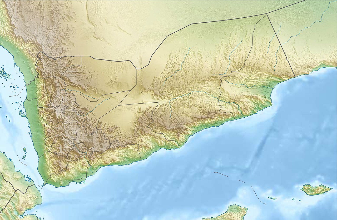
Deutsch: Physische Positionskarte vom Jemen
Quadratische Plattkarte, N-S-Streckung 104 %. Geographische Begrenzung der Karte:
English: Physical location map of Yemen
Equirectangular projection, N/S stretching 104 %. Geographic limits of the map:
|
| Сана | |
| Манбаъ |
Кори худ, using
|
| Муаллиф | Carport |
| Иҷозат (Пешроҳандозии ин парванда) |
This file is licensed under the Creative Commons Attribution-Share Alike 3.0 Unported license.
|
| Other versions |
|

Таърихи файл
Рӯи таърихҳо клик кунед то нусхаи марбути парвандаро бубинед.
| Таърих | Бандангуштӣ | Андоза | Корбар | Тавзеҳ | |
|---|---|---|---|---|---|
| нусхаи феълӣ | 19:28, 3 августи 2017 | | 1 693 × 1 106 (958 кбайт) | Mélomène | Soqotra and other islands |
| 18:46, 14 Декабри 2012 |  | 1 693 × 1 106 (751 кбайт) | Carport | {{Information |Description= {{de|Physische Positionskarte vom Jemen}} Quadratische Plattkarte, N-S-Streckung 104 %. Geographische Begrenzung der Karte: * N: 19.5° N * S: 11.4° N * W: 41.8° O * O: 54.7° O {{en|Physical location map of ... |
Пайвандҳо
Саҳифаҳои зерин ба ин акс пайванданд:
Истифодаи саросарии парванда
Викиҳои дигари зерин ин файлро истифода мекунанд:
- Истифода дар ar.wikipedia.org
- Истифода дар ast.wikipedia.org
- Истифода дар azb.wikipedia.org
- Истифода дар az.wikipedia.org
- Истифода дар bcl.wikipedia.org
- Истифода дар be-tarask.wikipedia.org
- Истифода дар bg.wikipedia.org
- Истифода дар bn.wikipedia.org
View more global usage of this file.