
Акс:Angola location map.svg

Ҳаҷми пешнамоиши PNG барои файли кунунии SVG: 547 × 600 пиксел. Дигар кайфиятҳо: 219 × 240 пиксел | 438 × 480 пиксел | 700 × 768 пиксел | 934 × 1 024 пиксел | 1 868 × 2 048 пиксел | 1 266 × 1 388 пиксел.
Акси аслӣ (SVG парванда, исмӣ 1 266 × 1 388 пиксел, андозаи парванда: 478 кбайт)
Хулоса
| Тавсифот |
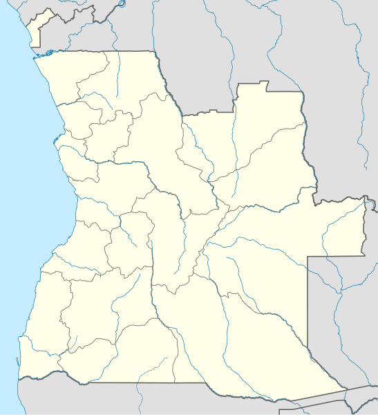
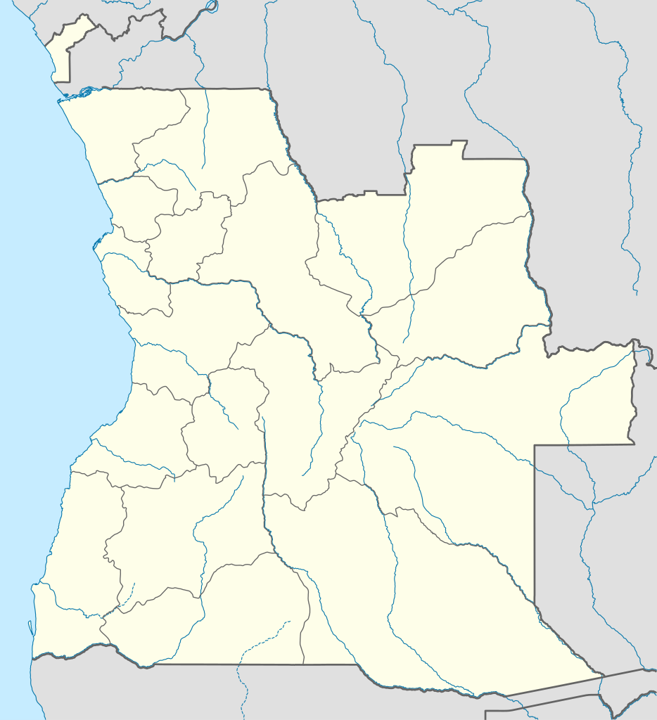
Deutsch: Positionskarte von Angola
Quadratische Plattkarte, N-S-Streckung 102 %. Geographische Begrenzung der Karte:
English: Location map of Angola
Equirectangular projection, N/S stretching 102 %. Geographic limits of the map:
|
||
| Сана | |||
| Манбаъ |
Кори худ, using
|
||
| Муаллиф | NordNordWest | ||
| Иҷозат (Пешроҳандозии ин парванда) |
I, the copyright holder of this work, hereby publish it under the following license: This file is licensed under the Creative Commons Attribution-Share Alike 3.0 Unported license.
|
||
| SVG genesis | This map was created with unknown tool.
|

Таърихи файл
Рӯи таърихҳо клик кунед то нусхаи марбути парвандаро бубинед.
| Таърих | Бандангуштӣ | Андоза | Корбар | Тавзеҳ | |
|---|---|---|---|---|---|
| нусхаи феълӣ | 18:15, 21 августи 2019 | | 1 266 × 1 388 (478 кбайт) | Hallel | Inclusão de novo mapa com as alterações territoriais das províncias do Bengo e Luanda |
| 17:35, 20 октябри 2009 |  | 1 266 × 1 388 (478 кбайт) | NordNordWest | =={{int:filedesc}}== {{Information |Description= {{de|Positionskarte von Angola}} Quadratische Plattkarte, N-S-Streckung 102 %. Geographische Begrenzung der Karte: * N: 4.1° S * S: 18.5° S * W: 11.1° O * O: 24.5° O {{en|Location map of |
Пайвандҳо
Саҳифаҳои зерин ба ин акс пайванданд:
Истифодаи саросарии парванда
Викиҳои дигари зерин ин файлро истифода мекунанд:
- Истифода дар af.wikipedia.org
- Истифода дар am.wikipedia.org
- Истифода дар an.wikipedia.org
- Истифода дар ar.wikipedia.org
- Истифода дар ast.wikipedia.org
- Luanda
- Ríu Congu
- Bolongongo
- Bembe
- Londuimbale
- Songo (Angola)
- Camanongue
- N'Zeto
- Lucala
- Lubalo
- África Central
- Comité Paralímpicu Angolanu
- Lubango
- Área de caltenimientu Kavango-Zambeze
- Ríu Zambeze
- Morro do Moco
- Benguela
- Módulu:Mapa de llocalización/datos/Angola
- Módulu:Mapa de llocalización/datos/Angola/usu
- Aeropuertu Internacional Quatro de Fevereiro
- Aeropuertu de Benguela
- Aeropuertu de Cabinda
View more global usage of this file.