
Акс:Berkshire UK relief location map.jpg

Андозаи ин пешнамоиш: 800 × 416 пиксел. Дигар кайфиятҳо: 320 × 166 пиксел | 640 × 333 пиксел | 1 024 × 533 пиксел | 1 280 × 666 пиксел | 1 999 × 1 040 пиксел.
Акси аслӣ ((1 999 × 1 040 пиксел, ҳаҷми парванда: 238 кбайт, навъи MIME: image/jpeg))
| Тавсифот |
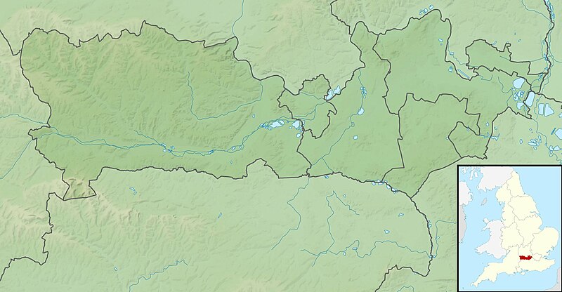
Relief map of Berkshire, UK. Equirectangular map projection on WGS 84 datum, with N/S stretched 160% Geographic limits:
|
| Сана | |
| Манбаъ |
|
| Муаллиф | Nilfanion, created using Ordnance Survey data |
| Иҷозат (Пешроҳандозии ин парванда) |
This file is licensed under the Creative Commons Attribution-Share Alike 3.0 Unported license. Тахсис: Contains Ordnance Survey data © Crown copyright and database right
|
| Other versions | File:Berkshire UK district map (blank).svg - Blank map with administrative borders only. |
.svg)
Таърихи файл
Рӯи таърихҳо клик кунед то нусхаи марбути парвандаро бубинед.
| Таърих | Бандангуштӣ | Андоза | Корбар | Тавзеҳ | |
|---|---|---|---|---|---|
| нусхаи феълӣ | 01:17, 29 ноябри 2011 | | 1 999 × 1 040 (238 кбайт) | Nilfanion | {{Information |Description=Relief map of Berkshire, UK. Equirectangular map projection on WGS 84 datum, with N/S stretched 160% Geographic limits: *West: 1.63W *East: 0.46W *North: 51.59N *South: 51.21N |Source=[[w:Ordnance Survey|Ordnan |
Пайвандҳо
Саҳифаҳои зерин ба ин акс пайванданд:
Истифодаи саросарии парванда
Викиҳои дигари зерин ин файлро истифода мекунанд:
- Истифода дар ar.wikipedia.org
- Истифода дар bg.wikipedia.org
- Истифода дар bn.wikipedia.org
- Истифода дар ceb.wikipedia.org
- Истифода дар en.wikipedia.org
- River Blackwater (River Loddon)
- River Loddon
- Second Battle of Newbury
- Walbury Hill
- Virginia Water Lake
- Queen Mother Reservoir
- Siege of Reading
- Module:Location map/data/United Kingdom Berkshire/doc
- Inkpen Hill
- Bearwood Lakes Golf Club
- MDIS & Partners Festival of Golf
- Module:Location map/data/United Kingdom Berkshire
- Module:Location map/data/Berkshire
- Bearwood House
- 2020 Reading stabbings
- 2021 Senior Open Championship
- 2015 Senior Open Championship
- 2009 Senior Open Championship
- Combe Hill, Berkshire
- Истифода дар es.wikipedia.org
- Истифода дар fr.wikipedia.org
- Истифода дар it.wikipedia.org
- Истифода дар ja.wikipedia.org
- Истифода дар kn.wikipedia.org
- Истифода дар la.wikipedia.org
- Истифода дар lv.wikipedia.org
View more global usage of this file.