
Акс:Cocos (Keeling) Islands location map.svg

Ҳаҷми пешнамоиши PNG барои файли кунунии SVG: 295 × 600 пиксел. Дигар кайфиятҳо: 118 × 240 пиксел | 236 × 480 пиксел | 378 × 768 пиксел | 504 × 1 024 пиксел | 1 007 × 2 048 пиксел | 772 × 1 569 пиксел.
Акси аслӣ (SVG парванда, исмӣ 772 × 1 569 пиксел, андозаи парванда: 193 кбайт)
_Islands_location_map.svg)
Хулоса
| Тавсифот |
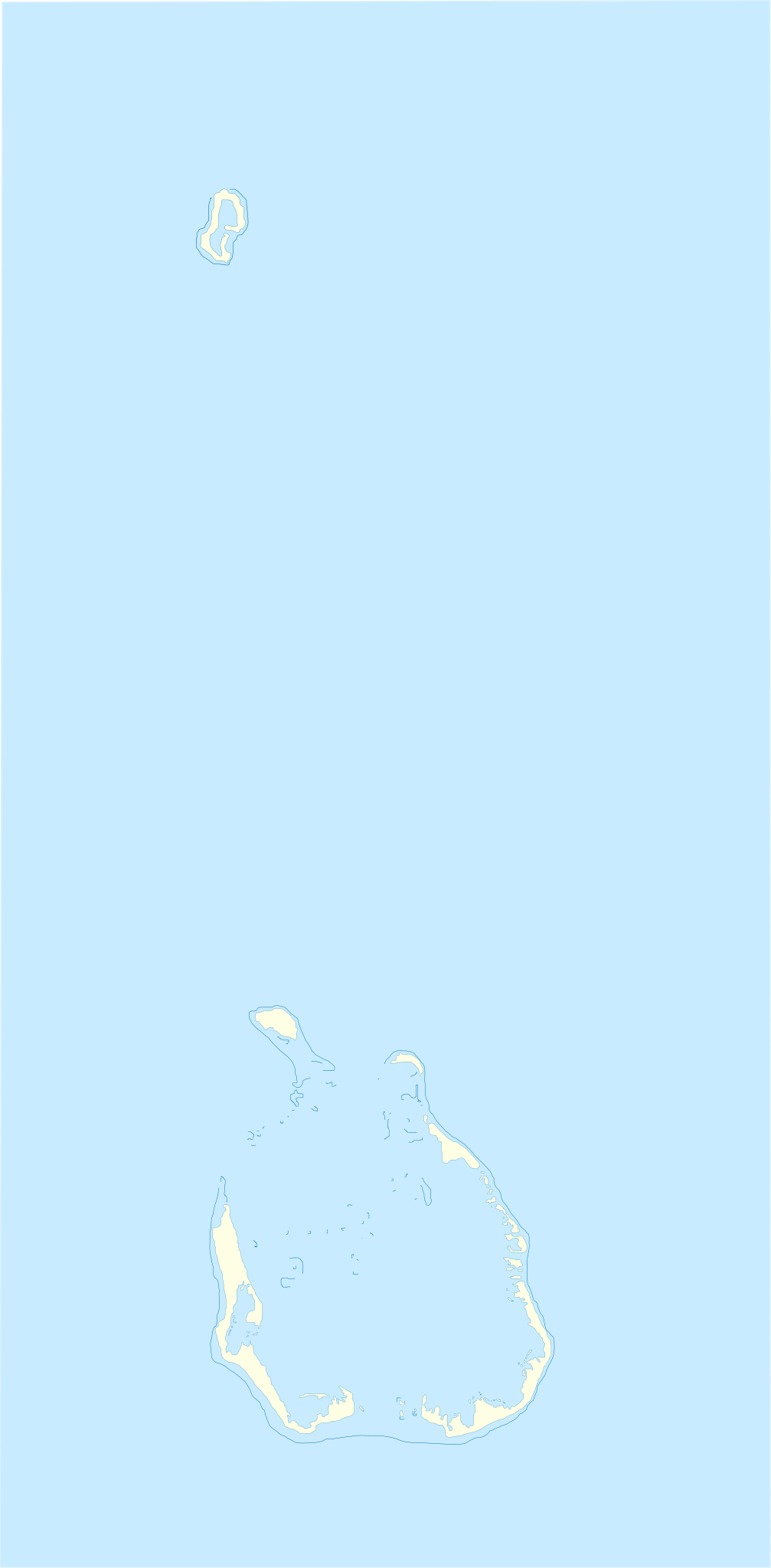
English: Location map of Cocos_(Keeling)_Islands
Equirectangular projection. Geographic limits of the map:
Français : Carte de localisation des Îles Cocos
projection equirectangulaire. Les limites géographiques sont
|
| Сана | |
| Манбаъ | Кори худ |
| Муаллиф | Xfigpower |
la vectorisation à main levée s'est appuyé sur Image:Cocos(keeling)_76.jpg
_76.jpg)
Иҷозатнома
I, the copyright holder of this work, hereby publish it under the following licenses:

|
Permission is granted to copy, distribute and/or modify this document under the terms of the GNU Free Documentation License, Version 1.2 or any later version published by the Free Software Foundation; with no Invariant Sections, no Front-Cover Texts, and no Back-Cover Texts. A copy of the license is included in the section entitled GNU Free Documentation License. |
This file is licensed under the Creative Commons Attribution 3.0 Unported license.
- Шумо озодед:
- мубодилот намудан – копӣ, паҳн ва фиристадани асар
- ремикс кардан – татбиқи кор
- Under the following conditions:
- тахсис – You must give appropriate credit, provide a link to the license, and indicate if changes were made. You may do so in any reasonable manner, but not in any way that suggests the licensor endorses you or your use.
Шумо иҷозатномаи хостаи худро интихоб карда метавонед.
Таърихи файл
Рӯи таърихҳо клик кунед то нусхаи марбути парвандаро бубинед.
| Таърих | Бандангуштӣ | Андоза | Корбар | Тавзеҳ | |
|---|---|---|---|---|---|
| нусхаи феълӣ | 10:17, 4 августи 2010 | | 772 × 1 569 (193 кбайт) | Xfigpower | {{Information |Description={{en|1=Location map of Cocos_(Keeling)_Islands}} Equirectangular projection. Geographic limits of the map: * N: 11°45' S * S: 12°15' S * W: 96°45' E * E: 97°00 E}} {{fr|1=Carte de lo |
Пайвандҳо
Саҳифаҳои зерин ба ин акс пайванданд:
Истифодаи саросарии парванда
Викиҳои дигари зерин ин файлро истифода мекунанд:
- Истифода дар af.wikipedia.org
- Истифода дар an.wikipedia.org
- Истифода дар ar.wikipedia.org
- Истифода дар ast.wikipedia.org
- Истифода дар ba.wikipedia.org
- Истифода дар bn.wikipedia.org
- Истифода дар bs.wikipedia.org
- Истифода дар ceb.wikipedia.org
- Plantilya:Location map Cocos (Keeling) Islands
- West Cay
- East Cay
- Ross Island
- Ross
- Selma
- North Lagoon
- South Island
- Western Entrance
- West Island
- Wreck Point
- Possession Point
- Direction Island
- Gooseberry Island
- Burial Island
- Burton Point
- Home Island
- Prison Island
- Selma Island
- Cocos Islands (pagklaro)
- Keeling Islands
- Pulo Panjang
- Ujong Tanjong
- Port Refuge
- Teluk Jambu
- Pulo Maria
- Horsburgh Island
- Pulu Belan
- Telok Semberang
- Cocos Islands
- Wreck Point (punta sa Kapupud-ang Cocos)
- Workhouse Island
- Gumagamit:Lsjbot/Duplicates/Cocos Islands (kapuloan sa Cocos Islands, lat -12,00, long 96,83)
- West Island (pulo sa Kapupud-ang Cocos, lat -12,18, long 96,83)
- Western Entrance (agianan nga nabigasyon)
- Turk Reef
- Ujong Tanjong (punta sa Kapupud-ang Cocos)
- South Lagoon (lanaw sa Kapupud-ang Cocos)
- South Keeling Islands
View more global usage of this file.
_Islands_location_map.svg)
_Islands_location_map.svg)