
Акс:Cyprus relief location map.jpg
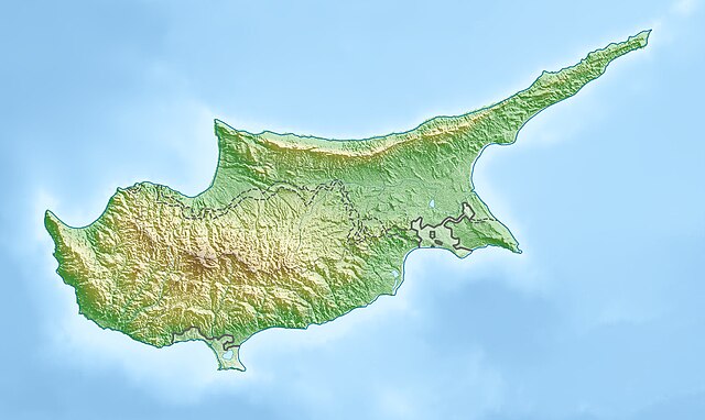
Андозаи ин пешнамоиш: 800 × 477 пиксел. Дигар кайфиятҳо: 320 × 191 пиксел | 640 × 382 пиксел | 1 024 × 611 пиксел | 1 280 × 763 пиксел | 2 126 × 1 268 пиксел.
Акси аслӣ ((2 126 × 1 268 пиксел, ҳаҷми парванда: 674 кбайт, навъи MIME: image/jpeg))
| Тавсифот |
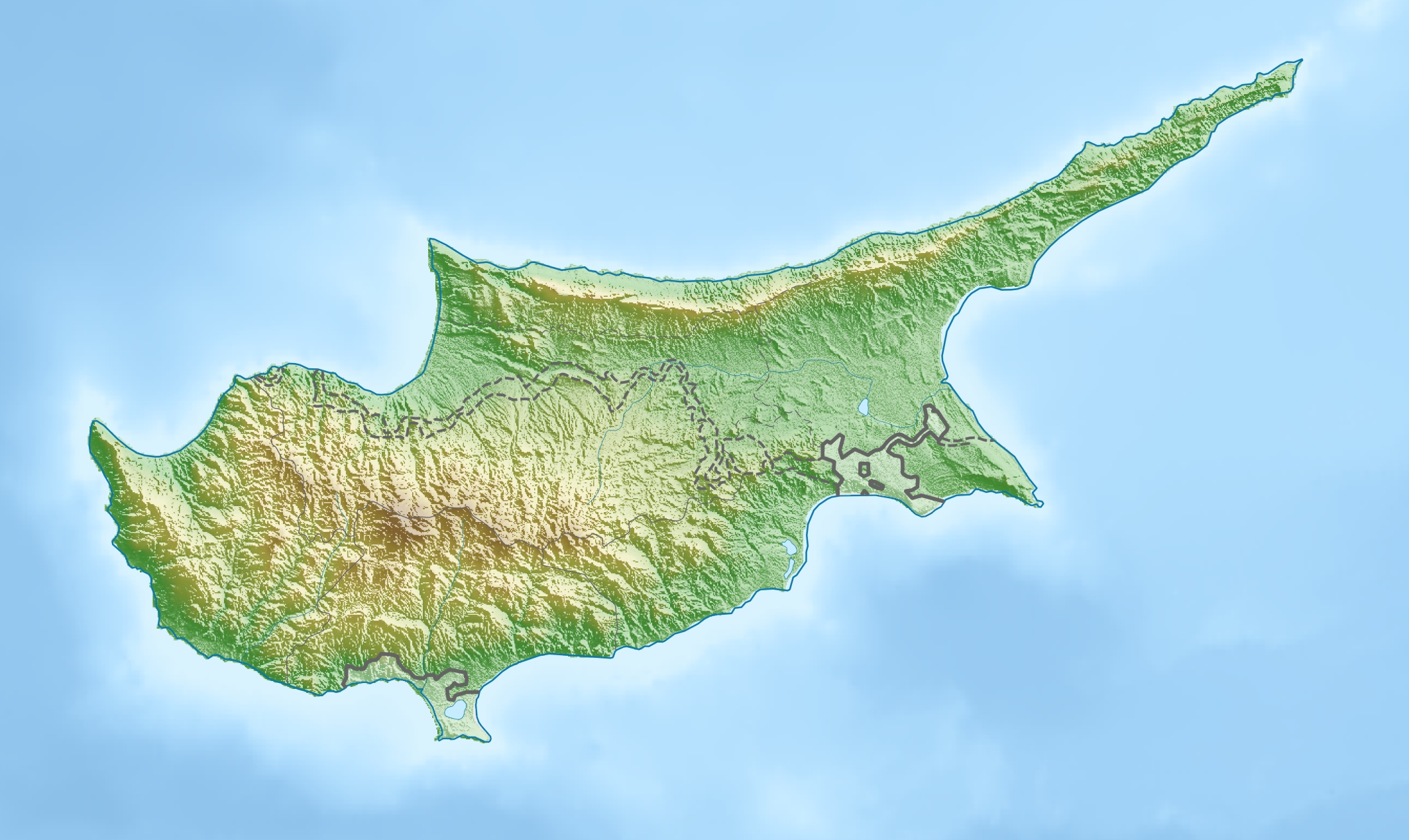
Deutsch: Physische Positionskarte von Zypern.
Quadratische Plattkarte, N-S-Streckung 115 %. Geographische Begrenzung der Karte:
English: Physical location map of Cyprus.
Equirectangular projection, N/S stretching 115 %. Geographic limits of the map:
|
| Сана | |
| Манбаъ | Кори худ, using map data from administrative map by NordNordWest. The relief was created from SRTM-3 relief data |
| Муаллиф | Carport |
| Иҷозат (Пешроҳандозии ин парванда) |
This file is licensed under the Creative Commons Attribution-Share Alike 3.0 Unported license.
|
| Other versions |
|

Таърихи файл
Рӯи таърихҳо клик кунед то нусхаи марбути парвандаро бубинед.
| Таърих | Бандангуштӣ | Андоза | Корбар | Тавзеҳ | |
|---|---|---|---|---|---|
| нусхаи феълӣ | 17:26, 15 марти 2010 | | 2 126 × 1 268 (674 кбайт) | Carport | {{Information |Description={{de|Physische Positionskarte von {{w|Zypern|3=de}}}} Quadratische Plattkarte, N-S-Streckung 115 %. Geographische Begrenzung der Karte: * N: 35.8° N * S: 34.4° N * W: 32.1° O * O: 34.8° O {{en|Physical location map of {{w|Cy |
Пайвандҳо
Саҳифаҳои зерин ба ин акс пайванданд:
Истифодаи саросарии парванда
Викиҳои дигари зерин ин файлро истифода мекунанд:
- Истифода дар als.wikipedia.org
- Истифода дар ar.wikipedia.org
- Истифода дар arz.wikipedia.org
- Истифода дар av.wikipedia.org
- Истифода дар azb.wikipedia.org
- Истифода дар az.wikipedia.org
- Истифода дар ba.wikipedia.org
- Истифода дар be-tarask.wikipedia.org
- Истифода дар be.wikipedia.org
- Истифода дар bn.wikipedia.org
- Истифода дар bs.wikipedia.org
- Истифода дар ceb.wikipedia.org
- Истифода дар ce.wikipedia.org
- Истифода дар ckb.wikipedia.org
- Истифода дар cs.wikipedia.org
- Истифода дар cv.wikipedia.org
- Истифода дар da.wikipedia.org
- Истифода дар de.wikipedia.org
- Истифода дар de.wikivoyage.org
View more global usage of this file.