
Акс:Europe blank laea location map.svg

Ҳаҷми пешнамоиши PNG барои файли кунунии SVG: 701 × 599 пиксел. Дигар кайфиятҳо: 281 × 240 пиксел | 561 × 480 пиксел | 898 × 768 пиксел | 1 198 × 1 024 пиксел | 2 395 × 2 048 пиксел | 1 401 × 1 198 пиксел.
Акси аслӣ (SVG парванда, исмӣ 1 401 × 1 198 пиксел, андозаи парванда: 1,42 Мбайт)
Bosnia
Хулоса
| Тавсифот |
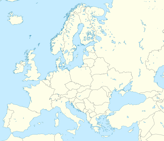
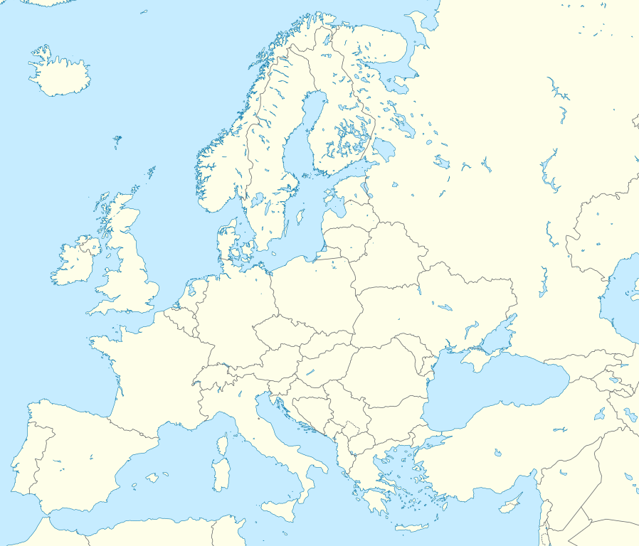
Deutsch: Positionskarte Europa; Politisch mit Staatsgrenzen; Flächentreue Azimutalprojektion
English: Location map Europe; Political with state boundaries; Lambert azimuthal equal-area projection
|
| Сана | |
| Манбаъ |
Кори худ
|
| Муаллиф | Alexrk2 |
| Other versions |
Derivative works of this file: []
|


.svg)


|
This map has been made or improved in the German Kartenwerkstatt (Map Lab). You can propose maps to improve as well.
|
Иҷозатнома
I, the copyright holder of this work, hereby publish it under the following license:
This file is licensed under the Creative Commons Attribution-Share Alike 3.0 Unported license.
- Шумо озодед:
- мубодилот намудан – копӣ, паҳн ва фиристадани асар
- ремикс кардан – татбиқи кор
- Under the following conditions:
- тахсис – You must give appropriate credit, provide a link to the license, and indicate if changes were made. You may do so in any reasonable manner, but not in any way that suggests the licensor endorses you or your use.
- саҳми яксон – If you remix, transform, or build upon the material, you must distribute your contributions under the same or compatible license as the original.
Таърихи файл
Рӯи таърихҳо клик кунед то нусхаи марбути парвандаро бубинед.
| Таърих | Бандангуштӣ | Андоза | Корбар | Тавзеҳ | |
|---|---|---|---|---|---|
| нусхаи феълӣ | 03:13, 9 марти 2020 | | 1 401 × 1 198 (1,42 Мбайт) | Ratherous | Add more inland water for better accuracy |
| 10:28, 1 феврали 2020 |  | 1 401 × 1 198 (1,84 Мбайт) | Thayts | + disputed crimea, golan heights, and other minor border tweaks | |
| 20:50, 11 марти 2010 |  | 1 401 × 1 198 (1,84 Мбайт) | Alexrk2 | fixing inland water | |
| 19:58, 11 марти 2010 |  | 1 401 × 1 198 (1,83 Мбайт) | Alexrk2 | == Summary == {{Information |Description= {{de|Positionskarte Europa; Politisch mit Staatsgrenzen; Flächentreue Azimutalprojektion}} {{en|Location map Europe; Political with state boundaries; Lambert azimuthal equal-area pro |
Пайвандҳо
Саҳифаҳои зерин ба ин акс пайванданд:
Истифодаи саросарии парванда
Викиҳои дигари зерин ин файлро истифода мекунанд:
- Истифода дар ab.wikipedia.org
- Истифода дар af.wikipedia.org
- Истифода дар als.wikipedia.org
- Истифода дар ar.wikipedia.org
- دوري أبطال أوروبا 2000–01
- دوري أبطال أوروبا 1994–95
- دوري أبطال أوروبا 1995–96
- دوري أبطال أوروبا 1996–97
- قالب:خريطة مواقع أوروبا
- بطولات رابطة محترفي التنس 500 نقطة
- ألعاب بارالمبية صيفية
- ألعاب بارالمبية شتوية
- الدوري الأوروبي لكرة السلة
- قالب:خريطة موقع أوروبا
- مجموعة سيتي لكرة القدم
- دوري أبطال أوروبا لكرة اليد
- الدوري الأوروبي 2016–17
- الكأس الدولية للأبطال 2016
- دوري أبطال أوروبا 2017–18
- الكأس الدولية للأبطال 2019
- قائمة مدن الاتحاد الأوروبي حسب تعداد السكان المسلمين
- ناسداك نورديك
- قالب:2019–20 coronavirus pandemic data/Map (dots)
- يوروكوربس
- دوري المؤتمر الأوروبي 2021–22
- دوري السوبر الأوروبي
- الدوري الأوروبي 2022–23
- سباق الجائزة الكبرى للدراجات النارية موسم 2022
- دوري أبطال أوروبا 2023–24
- الدوري الأوروبي 2023–24
- سباق الجائزة الكبرى للدراجات النارية موسم 2023
- دوري المؤتمر الأوروبي 2023–24
- Истифода дар arz.wikipedia.org
- Истифода дар ast.wikipedia.org
- Истифода дар av.wikipedia.org
- Истифода дар azb.wikipedia.org
View more global usage of this file.