
Акс:Hellinikon Airport aerial view 1998-3-9.png

Андозаи ин пешнамоиш: 800 × 554 пиксел. Дигар кайфиятҳо: 320 × 222 пиксел | 640 × 444 пиксел | 1 023 × 709 пиксел.
Акси аслӣ ((1 023 × 709 пиксел, ҳаҷми парванда: 2,08 Мбайт, навъи MIME: image/png))
| Тавсифот |
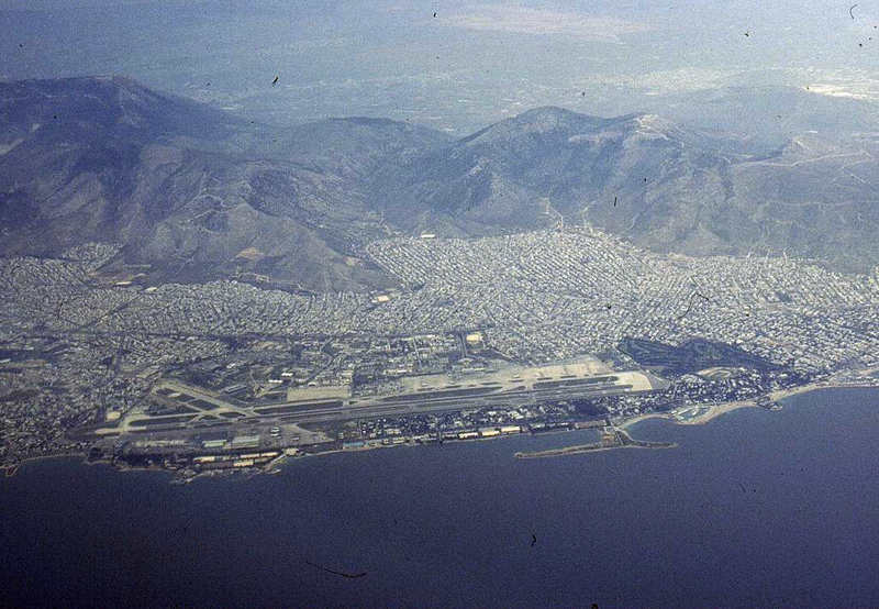
English: Aerial view of Hellinikon International Airport (ATH / LGAT). The airport was closed in 2001. Español: Vista aérea del Aeropuerto Internacional de Hellinikon (ATH / LGAT), cerrado en 2001. |
| Сана | |
| Манбаъ | http://www.airliners.net/photo//0061582/L/ |
| Муаллиф | Konstantin von Wedelstaedt |
| Camera location | | View this and other nearby images on: OpenStreetMap |
|---|
This file comes from the Konstantin von Wedelstaedt collection and is copyrighted.
Note: This permission only extends to photos taken by Konstantin von Wedelstaedt. It does not include any other content from airliners.net
|

Таърихи файл
Рӯи таърихҳо клик кунед то нусхаи марбути парвандаро бубинед.
| Таърих | Бандангуштӣ | Андоза | Корбар | Тавзеҳ | |
|---|---|---|---|---|---|
| нусхаи феълӣ | 21:26, 20 Январ 2012 | | 1 023 × 709 (2,08 Мбайт) | Jetstreamer | {{Information |Description ={{en|1=Aerial view of Hellinikon International Airport (ATH / LGAT). The airport was closed in 2001.}} |Source =http://www.airliners.net/photo//0061582/L/ |Author =Konstantin von Wedelstaedt |Date = |
Пайвандҳо
Саҳифаҳои зерин ба ин акс пайванданд:
Истифодаи саросарии парванда
Викиҳои дигари зерин ин файлро истифода мекунанд:
- Истифода дар ar.wikipedia.org
- Истифода дар ca.wikipedia.org
- Истифода дар el.wikipedia.org
- Истифода дар en.wikipedia.org
- Истифода дар es.wikipedia.org
- Истифода дар fa.wikipedia.org
- Истифода дар fi.wikipedia.org
- Истифода дар fr.wikipedia.org
- Истифода дар he.wikipedia.org
- Истифода дар hu.wikipedia.org
- Истифода дар ml.wikipedia.org
- Истифода дар nn.wikipedia.org
- Истифода дар pt.wikipedia.org
- Истифода дар ru.wikipedia.org
- Истифода дар tr.wikipedia.org
- Истифода дар uk.wikipedia.org
- Истифода дар ur.wikipedia.org
- Истифода дар www.wikidata.org