
Акс:Italy location map.svg

Ҳаҷми пешнамоиши PNG барои файли кунунии SVG: 477 × 600 пиксел. Дигар кайфиятҳо: 191 × 240 пиксел | 382 × 480 пиксел | 611 × 768 пиксел | 814 × 1 024 пиксел | 1 629 × 2 048 пиксел | 1 030 × 1 295 пиксел.
Акси аслӣ (SVG парванда, исмӣ 1 030 × 1 295 пиксел, андозаи парванда: 743 кбайт)
Хулоса
| Тавсифот |
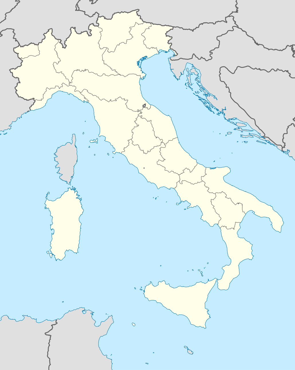
Quadratische Plattkarte, N-S-Streckung 132,898 %. Geographische Begrenzung der Karte:
Equirectangular projection, N/S stretching 132,898 %. Geographic limits of the map:
Proiezione equirettangolare, allargamento N/S 132,898 %. Limiti geografici della mappa:
|
||
| Сана | 06-07-2008 | ||
| Манбаъ | own work, using United States National Imagery and Mapping Agency data | ||
| Муаллиф | NordNordWest | ||
| Other versions |
Derivative works of this file:
|
||
| SVG genesis |
|


.png)
.svg)
Иҷозатнома
I, the copyright holder of this work, hereby publish it under the following licenses:

|
Permission is granted to copy, distribute and/or modify this document under the terms of the GNU Free Documentation License, Version 1.2 or any later version published by the Free Software Foundation; with no Invariant Sections, no Front-Cover Texts, and no Back-Cover Texts. A copy of the license is included in the section entitled GNU Free Documentation License. |
This file is licensed under the Creative Commons Attribution-Share Alike 3.0 Unported license.
- Шумо озодед:
- мубодилот намудан – копӣ, паҳн ва фиристадани асар
- ремикс кардан – татбиқи кор
- Under the following conditions:
- тахсис – You must give appropriate credit, provide a link to the license, and indicate if changes were made. You may do so in any reasonable manner, but not in any way that suggests the licensor endorses you or your use.
- саҳми яксон – If you remix, transform, or build upon the material, you must distribute your contributions under the same or compatible license as the original.
Шумо иҷозатномаи хостаи худро интихоб карда метавонед.
Таърихи файл
Рӯи таърихҳо клик кунед то нусхаи марбути парвандаро бубинед.
| Таърих | Бандангуштӣ | Андоза | Корбар | Тавзеҳ | |
|---|---|---|---|---|---|
| нусхаи феълӣ | 08:46, 19 июни 2021 | | 1 030 × 1 295 (743 кбайт) | NordNordWest | upd Marche/Emilia Romagna |
| 06:42, 11 сентябри 2010 |  | 1 034 × 1 299 (1,42 Мбайт) | Citypeek | Made one layer of the entire picture. Better for adding new stuff. | |
| 09:58, 22 августи 2009 |  | 1 034 × 1 299 (1,4 Мбайт) | Actormusicus | updating borders after important variation (http://www.gazzettaufficiale.it/guridb/dispatcher?service=1&datagu=2009-08-14&task=dettaglio&numgu=188&redaz=009G0127&tmstp=1250276942469) | |
| 12:38, 6 май 2009 |  | 1 034 × 1 299 (1 012 кбайт) | NordNordWest | corr | |
| 18:27, 12 марти 2009 |  | 1 032 × 1 267 (1 009 кбайт) | NordNordWest | corr | |
| 16:30, 6 июли 2008 |  | 1 032 × 1 267 (1 010 кбайт) | NordNordWest | {{Information |Description= {{de|Positionskarte von Italien}} Quadratische Plattkarte, N-S-Streckung 130 %. Geographische Begrenzung der Karte: * N: 47.4° N * S: 35.3° N * W: 6.2° O * O: 19.0° O {{en|Location map of Italy |
Пайвандҳо
Саҳифаҳои зерин ба ин акс пайванданд:
Истифодаи саросарии парванда
Викиҳои дигари зерин ин файлро истифода мекунанд:
- Истифода дар ab.wikipedia.org
- Истифода дар af.wikipedia.org
- Истифода дар als.wikipedia.org
- Rom
- Palermo
- Mailand
- Pisa
- Alagna Valsesia
- Florenz
- Parma
- Neapel
- Issime
- Rimella
- Formazza
- Macugnaga
- Rima San Giuseppe
- Alatri
- Ancona
- Lucera
- Vorlage:Positionskarte Italien
- Ravenna
- Genua
- Carcoforo
- Gaby (Aostatal)
- Predore
- Benutzer:Holder/Test Italien
- Syrakus
- Siligo
- Bari
- Venedig
- Salerno
- Orvieto
- Bolsena
- Bologna
- Tarquinia
- Allein (Aostatal)
- Antey-Saint-André
- Aosta
View more global usage of this file.