
Акс:Libya relief location map.jpg

Андозаи ин пешнамоиш: 625 × 599 пиксел. Дигар кайфиятҳо: 250 × 240 пиксел | 500 × 480 пиксел | 801 × 768 пиксел | 1 068 × 1 024 пиксел | 1 617 × 1 551 пиксел.
Акси аслӣ ((1 617 × 1 551 пиксел, ҳаҷми парванда: 1,13 Мбайт, навъи MIME: image/jpeg))
| Тавсифот |
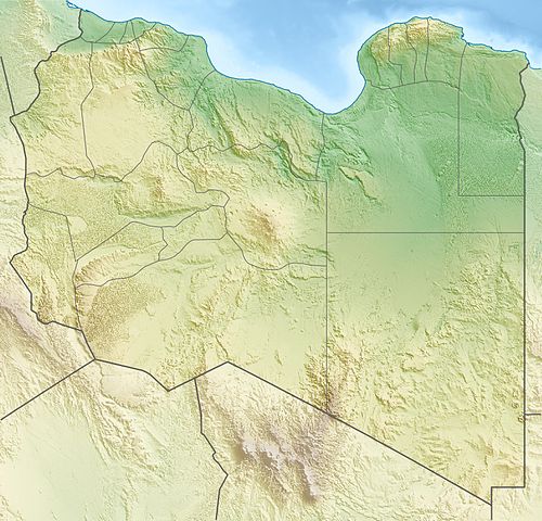
Deutsch: Physische Positionskarte von Libyen
Quadratische Plattkarte, N-S-Streckung 110 %. Geographische Begrenzung der Karte:
Equirectangular projection, N/S stretching 110 %. Geographic limits of the map:
|
| Сана | |
| Манбаъ | Кори худ, using map data from administrative map by NordNordWest. The relief was created from SRTM-30 relief data |
| Муаллиф | Carport |
| Иҷозат (Пешроҳандозии ин парванда) |
This file is licensed under the Creative Commons Attribution-Share Alike 3.0 Unported license.
|
| Other versions |
|

. قرامطة زوامل
Таърихи файл
Рӯи таърихҳо клик кунед то нусхаи марбути парвандаро бубинед.
| Таърих | Бандангуштӣ | Андоза | Корбар | Тавзеҳ | |
|---|---|---|---|---|---|
| нусхаи феълӣ | 17:28, 9 май 2011 | | 1 617 × 1 551 (1,13 Мбайт) | Carport | right file... |
| 17:25, 9 май 2011 |  | 1 617 × 1 551 (1,13 Мбайт) | Carport | update | |
| 16:33, 11 марти 2010 |  | 1 617 × 1 551 (1,22 Мбайт) | Carport | {{Information |Description={{de|Physische Positionskarte von {{w|Libyen|3=de}}}} Quadratische Plattkarte, N-S-Streckung 110 %. Geographische Begrenzung der Karte: * N: 33.4° N * S: 19.1° N * W: 9.1° O * O: 25.5° O {{en|Physical location map of {{w|Lib |
Пайвандҳо
Саҳифаҳои зерин ба ин акс пайванданд:
Истифодаи саросарии парванда
Викиҳои дигари зерин ин файлро истифода мекунанд:
- Истифода дар ar.wikipedia.org
- Истифода дар arz.wikipedia.org
- Истифода дар ast.wikipedia.org
- Истифода дар az.wikipedia.org
- Истифода дар ba.wikipedia.org
- Истифода дар be.wikipedia.org
- Истифода дар bg.wikipedia.org
- Триполи
- Бенгази
- Сирт
- Сирт (залив)
- Таджура
- Тобрук
- Ал Азизия
- Дарна
- Бардия
- Ел Агейла
- Мурзук
- Шаблон:ПК Либия
- Лептис Магна
- Кирена
- Гадамес
- Ал Байда
- Адждабия
- Адири
- Налут
- Аубари
- Уау ан Намус
- Марса Брега
- Рас Лануф
- Бин Джауад
- Мисрата
- Зауия
- Хумс
- Сидер
- Сабха
- Бани Уалид
- Зинтан
- Дарияна (Либия)
- Тадрарт Акакус
- Газала
- Киренайка (плато)
View more global usage of this file.