
Акс:USA Ohio location map.svg

Ҳаҷми пешнамоиши PNG барои файли кунунии SVG: 505 × 600 пиксел. Дигар кайфиятҳо: 202 × 240 пиксел | 404 × 480 пиксел | 646 × 768 пиксел | 862 × 1 024 пиксел | 1 724 × 2 048 пиксел | 1 010 × 1 200 пиксел.
Акси аслӣ (SVG парванда, исмӣ 1 010 × 1 200 пиксел, андозаи парванда: 455 кбайт)
Хулоса
| Тавсифот |
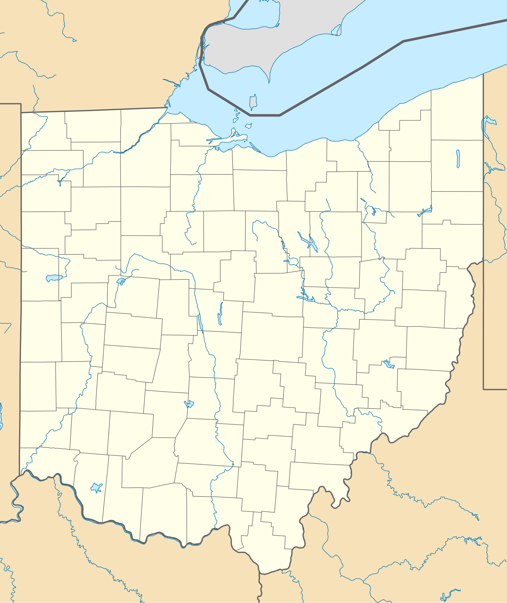
Quadratische Plattkarte, N-S-Streckung 130.0 %. Geographische Begrenzung der Karte:
Equirectangular projection, N/S stretching 130.0 %. Geographic limits of the map:
|
| Сана | |
| Манбаъ | Кори худ |
| Муаллиф | Alexrk2 |
| Other versions |
Derivative works of this file: BMO Harris Bank 2012-06.png Derivative works of this file: |

|
This map has been made or improved in the German Kartenwerkstatt (Map Lab). You can propose maps to improve as well.
|
Иҷозатнома
I, the copyright holder of this work, hereby publish it under the following licenses:

|
Permission is granted to copy, distribute and/or modify this document under the terms of the GNU Free Documentation License, Version 1.2 or any later version published by the Free Software Foundation; with no Invariant Sections, no Front-Cover Texts, and no Back-Cover Texts. A copy of the license is included in the section entitled GNU Free Documentation License. |
This file is licensed under the Creative Commons Attribution 3.0 Unported license.
- Шумо озодед:
- мубодилот намудан – копӣ, паҳн ва фиристадани асар
- ремикс кардан – татбиқи кор
- Under the following conditions:
- тахсис – You must give appropriate credit, provide a link to the license, and indicate if changes were made. You may do so in any reasonable manner, but not in any way that suggests the licensor endorses you or your use.
Шумо иҷозатномаи хостаи худро интихоб карда метавонед.
Таърихи файл
Рӯи таърихҳо клик кунед то нусхаи марбути парвандаро бубинед.
| Таърих | Бандангуштӣ | Андоза | Корбар | Тавзеҳ | |
|---|---|---|---|---|---|
| нусхаи феълӣ | 19:16, 26 июни 2009 | | 1 010 × 1 200 (455 кбайт) | Alexrk2 | == Beschreibung == {{Information |Description= {{de|Positionskarte von Ohio, USA}} Quadratische Plattkarte, N-S-Streckung 130.0 %. Geographische Begrenzung der Karte: * N: 42.5° N * S: 38.2° N * W: 85.0° W * O: 80.3° W {{en|Lo |
Пайвандҳо
Саҳифаҳои зерин ба ин акс пайванданд:
Истифодаи саросарии парванда
Викиҳои дигари зерин ин файлро истифода мекунанд:
- Истифода дар af.wikipedia.org
- Истифода дар an.wikipedia.org
- Истифода дар ar.wikipedia.org
- Истифода дар azb.wikipedia.org
- کنت، اوهایو
- اکران، اوهایو
- همیلتون، اوهایو
- الیریا، اوهایو
- آکسفورد، اوهایو
- راونا، اوهایو
- اورورا، اوهایو
- استریتسبورو، اوهایو
- پنکوستبرق، اوهایو
- کاناقا، اوهایو
- وایتس لندینق، اوهایو
- لیک توماهاک، اوهایو
- لیک باکهورن، اوهایو
- ویلیامزدیل، اوهایو
- کریستال راک، اوهایو
- سینمون لیک، اوهایو
- پلینویل، اوهایو
- بیولا بیچ، اوهایو
- نیو رم، اوهایو
- هاید اوی هیلز، اوهایو
- پاتری ادیشن، اوهایو
- دولا، اوهایو
- آرنولد، اوهایو
- کوک، اوهایو
- هومورت، اوهایو
- لیک لورلی، اوهایو
- فزنت ران، اوهایو
- مورقندیل، اوهایو
- والنات کریک، اوهایو
- مکینلی هایتس، اوهایو
- فور بریجز، اوهایو
- هالیدی لیکس، اوهایو
- وایتمنز قروو، اوهایو
- راکی فورک پوینت، اوهایو
- هایلند هالیدی، اوهایو
- لیک واینوکا، اوهایو
- لیک موهاک، اوهایو
- باتسم، اوهایو
- فلت راک، اوهایو
View more global usage of this file.