
Акс:Arunachal Pradesh locator map.svg

Акси аслӣ (SVG парванда, исмӣ 2 393 × 1 956 пиксел, андозаи парванда: 263 кбайт)
| Унвони мақола |
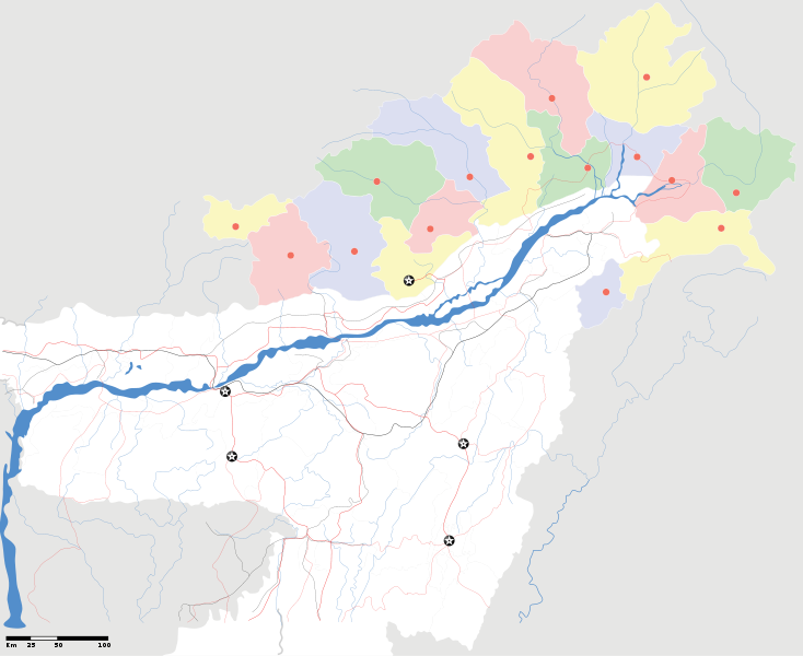
Arunachal Pradesh locator Map. Coordinates: top=29.49, bottom=23.74, left=89.61, right=97.52. |
||
| Description |
Map of w:Arunachal Pradesh with road and rail lines |
||
| Сана | |||
| Манбаъ |
Кори худ |
||
| Падидоваранда |
|
||
| Иҷозат (Пешроҳандозии ин парванда) |
I, the copyright holder of this work, hereby publish it under the following license: This file is licensed under the Creative Commons Attribution-Share Alike 3.0 Unported license.
|
||
| Geotemporal data | |||
| Date depicted | second half of 20 century ва 21 century | ||
| Georeferencing | If inappropriate please set warp_status = skip to hide. | ||
| Archival data | |||
| Эзоҳот | Part of WikiProject India Maps | ||
derivative works
Derivative works of this file: India Arunachal Pradesh location map.svg
Таърихи файл
Рӯи таърихҳо клик кунед то нусхаи марбути парвандаро бубинед.
| Таърих | Бандангуштӣ | Андоза | Корбар | Тавзеҳ | |
|---|---|---|---|---|---|
| нусхаи феълӣ | 19:04, 16 апрели 2007 | | 2 393 × 1 956 (263 кбайт) | Planemad | {{WikiProject_India_Maps |Title=Arunachal Pradesh locator Map |Description=Map of w:Arunachal Pradesh with road and rail lines |Source= [http://www.iitg.ernet.in/rcilts/assam_political.jpg IIT Guwahati - Assam Political map], [http://arunachalgovernor |
Пайвандҳо
Ин акс дар ҳеҷ саҳифа истифода намешавад.
Истифодаи саросарии парванда
Викиҳои дигари зерин ин файлро истифода мекунанд:
- Истифода дар ast.wikipedia.org
- Истифода дар as.wikipedia.org
- Истифода дар awa.wikipedia.org
- Истифода дар ba.wikipedia.org
- Истифода дар ca.wikipedia.org
- Истифода дар ceb.wikipedia.org
- Истифода дар de.wikipedia.org
- Истифода дар dty.wikipedia.org
- Истифода дар dv.wikipedia.org
- Истифода дар en.wikipedia.org
- Истифода дар es.wikipedia.org
- Истифода дар fa.wikipedia.org
- Истифода дар fr.wikipedia.org
- Истифода дар hif.wikipedia.org
- Истифода дар hi.wikipedia.org
- Истифода дар hr.wikipedia.org
- Истифода дар id.wikipedia.org
- Истифода дар incubator.wikimedia.org
- Истифода дар ja.wikipedia.org
- Истифода дар ka.wikipedia.org
- Истифода дар kbd.wikipedia.org
- Истифода дар mai.wikipedia.org
- Истифода дар ml.wikipedia.org
- Истифода дар ms.wikipedia.org
- Истифода дар new.wikipedia.org
- Истифода дар nl.wikipedia.org
View more global usage of this file.