
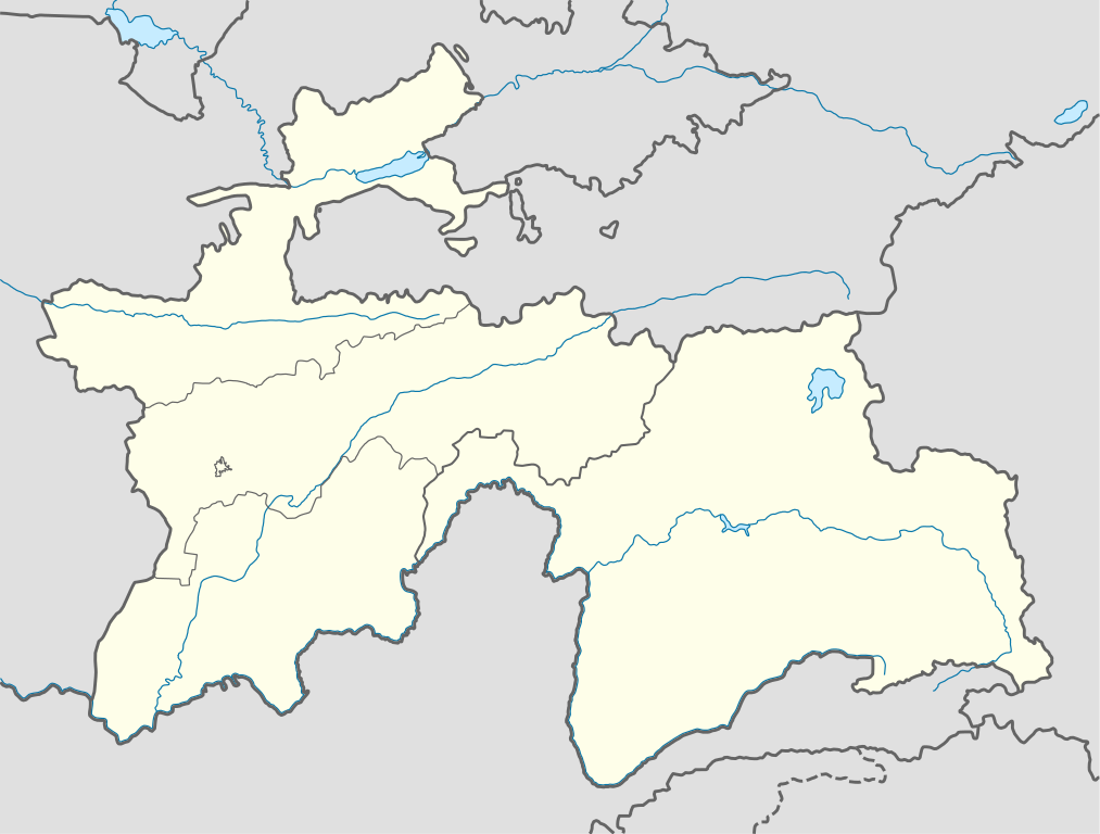
Акс:Tajikistan location map.svg

Ҳаҷми пешнамоиши PNG барои файли кунунии SVG: 791 × 600 пиксел. Дигар кайфиятҳо: 317 × 240 пиксел | 633 × 480 пиксел | 1 013 × 768 пиксел | 1 280 × 970 пиксел | 2 560 × 1 941 пиксел | 1 191 × 903 пиксел.
Акси аслӣ (SVG парванда, исмӣ 1 191 × 903 пиксел, андозаи парванда: 206 кбайт)
Хулоса
| Тавсифот |
Deutsch: Positionskarte von Tadschikistan
Quadratische Plattkarte, N-S-Streckung 130 %. Geographische Begrenzung der Karte:
English: Location map of Tajikistan
Equirectangular projection, N/S stretching 130 %. Geographic limits of the map:
|
| Сана | |
| Манбаъ |
own work, using
|
| Муаллиф | NordNordWest |

|
This map has been made or improved in the German Kartenwerkstatt (Map Lab). You can propose maps to improve as well.
|
Иҷозатнома
I, the copyright holder of this work, hereby publish it under the following licenses:

|
Permission is granted to copy, distribute and/or modify this document under the terms of the GNU Free Documentation License, Version 1.2 or any later version published by the Free Software Foundation; with no Invariant Sections, no Front-Cover Texts, and no Back-Cover Texts. A copy of the license is included in the section entitled GNU Free Documentation License. |
This file is licensed under the Creative Commons Attribution-Share Alike 3.0 Unported license.
- Шумо озодед:
- мубодилот намудан – копӣ, паҳн ва фиристадани асар
- ремикс кардан – татбиқи кор
- Under the following conditions:
- тахсис – You must give appropriate credit, provide a link to the license, and indicate if changes were made. You may do so in any reasonable manner, but not in any way that suggests the licensor endorses you or your use.
- саҳми яксон – If you remix, transform, or build upon the material, you must distribute your contributions under the same or compatible license as the original.
Шумо иҷозатномаи хостаи худро интихоб карда метавонед.
Таърихи файл
Рӯи таърихҳо клик кунед то нусхаи марбути парвандаро бубинед.
| Таърих | Бандангуштӣ | Андоза | Корбар | Тавзеҳ | |
|---|---|---|---|---|---|
| нусхаи феълӣ | 09:38, 16 Декабри 2013 | | 1 191 × 903 (206 кбайт) | NordNordWest | Reverted to version as of 16:56, 21 October 2013; not according to the global location map scheme |
| 09:37, 16 Декабри 2013 |  | 1 886 × 1 432 (269 кбайт) | Transoxsiana | 1 | |
| 16:56, 21 октябри 2013 |  | 1 191 × 903 (206 кбайт) | NordNordWest | upd | |
| 16:53, 23 октябри 2008 |  | 1 191 × 905 (324 кбайт) | NordNordWest | ||
| 21:32, 26 сентябри 2008 |  | 1 191 × 905 (325 кбайт) | NordNordWest | {{Information |Description= {{de|Positionskarte von Tadschikistan}} Quadratische Plattkarte, N-S-Streckung 130 %. Geographische Begrenzung der Karte: * N: 41.3° N * S: 36.4° N * W: 67.1° O * O: 75.5° O {{en|Location map of [[:en: |
Пайвандҳо
Саҳифаҳои зерин ба ин акс пайванданд:
- Бохтар (шаҳр)
- Вилояти Мухтори Кӯҳистони Бадахшон
- Вилояти Суғд
- Вилояти Хатлон
- Вилоятҳои Тоҷикистон
- Данғара
- Кӯлоб
- Леваканд
- Ноҳияи Ёвон
- Ноҳияи Абдураҳмони Ҷомӣ
- Ноҳияи Айнӣ
- Ноҳияи Ашт
- Ноҳияи Балҷувон
- Ноҳияи Бобоҷон Ғафуров
- Ноҳияи Варзоб
- Ноҳияи Вахш
- Ноҳияи Ваҳдат
- Ноҳияи Восеъ
- Ноҳияи Данғара
- Ноҳияи Деваштич
- Ноҳияи Дӯстӣ
- Ноҳияи Зафаробод
- Ноҳияи Истаравшан
- Ноҳияи Исфара
- Ноҳияи Конибодом
- Ноҳияи Кӯлоб
- Ноҳияи Кӯшониён
- Ноҳияи Лахш
- Ноҳияи Левакант
- Ноҳияи Муъминобод
- Ноҳияи Норак
- Ноҳияи Носири Хусрав
- Ноҳияи Нуробод
- Ноҳияи Панҷ
- Ноҳияи Рашт
- Ноҳияи Роғун
- Ноҳияи Рӯдакӣ
- Ноҳияи Сангвор
- Ноҳияи Темурмалик
- Ноҳияи Тоҷикобод
- Ноҳияи Турсунзода
- Ноҳияи Файзобод
- Ноҳияи Фархор
- Ноҳияи Ховалинг
- Ноҳияи Хуросон
- Ноҳияи Шамсиддин Шоҳин
- Ноҳияи Шаҳринав
- Ноҳияи Шаҳристон
- Ноҳияи Шаҳритӯс
- Ноҳияи Қубодиён
- Ноҳияи Ҳамадонӣ
- Ноҳияи Ҳисор
- Ноҳияи Ҷаббор Расулов
- Ноҳияи Ҷайҳун
- Ноҳияи Ҷалолиддин Балхӣ
- Ноҳияҳои тобеи ҷумҳурӣ
- Тақсимоти маъмурии Тоҷикистон
- Тоҷикистон
- Қубодиён
- Ҳулбук (шаҳрак)
- Шаблон:Тақсимоти маъмурии Тоҷикистон
- Шаблон:Харитаи Тоҷикистон
- Шаблон:ХаритаиМавзеӣ Тоҷикистон
Истифодаи саросарии парванда
Викиҳои дигари зерин ин файлро истифода мекунанд:
- Истифода дар be-tarask.wikipedia.org
- Истифода дар bg.wikipedia.org
- Истифода дар bn.wikipedia.org
- Истифода дар bs.wikipedia.org
- Истифода дар ce.wikipedia.org
- Истифода дар cs.wikipedia.org
- Истифода дар da.wikipedia.org
- Истифода дар de.wikipedia.org
- Истифода дар el.wikipedia.org
- Истифода дар en.wikipedia.org
- Истифода дар eo.wikipedia.org
- Истифода дар es.wikipedia.org
- Истифода дар et.wikipedia.org
- Истифода дар eu.wikipedia.org
- Истифода дар fa.wikipedia.org
- Истифода дар fr.wikipedia.org
- Истифода дар he.wikivoyage.org
- Истифода дар hu.wikipedia.org
- Истифода дар id.wikipedia.org
- Истифода дар io.wikipedia.org
- Истифода дар ka.wikipedia.org
- Истифода дар kbd.wikipedia.org
- Истифода дар kk.wikipedia.org
- Истифода дар lez.wikipedia.org
View more global usage of this file.